(Photos by J. Maus/BikePortland)
It’s less than one year to go until TriMet takes the wraps off the Orange Line, a 7.3 mile extension of the MAX light rail system that will connect downtown Portland to Milwaukie in northern Clackamas County. While the marquee component of the $1.5 billion project, the Tillikum Crossing Bridge, won’t open until next fall, many parts of the new project are already open for business.
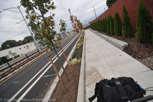
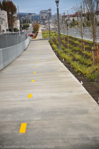
Among the $40 million the project will spend on infrastructure for bicycling and walking, is a series of new multi-use paths and bike lanes that will connect the eastern end of the Tilikum Bridge to SE McLoughlin Blvd via new connections on SE Caruthers and SE 17th. While some final details remain, enough of this section is open that I figured it warranted a closer look.
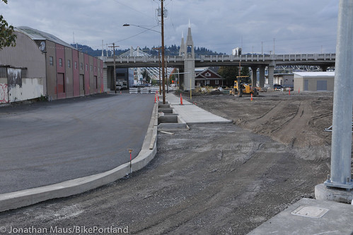
Our (north to south) tour starts at SE 7th and Division Place where the beginning of the new multi-use path isn’t open yet, but you can see it behind some barriers. You can also see the nice new sidewalk being build on SE Caruthers as it goes under the MLK/Grand viaduct.
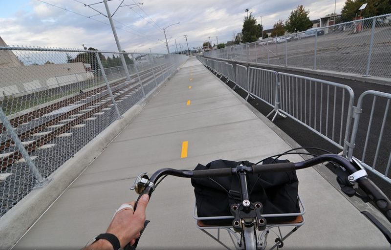
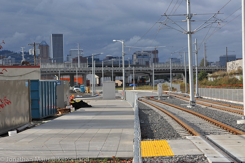
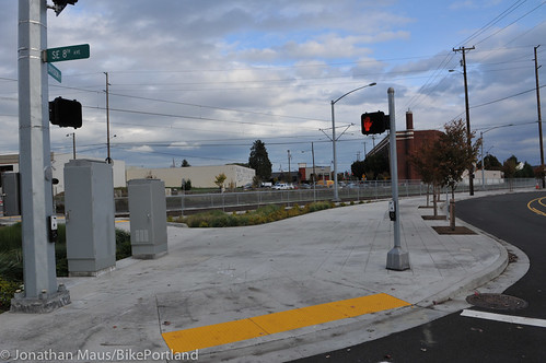
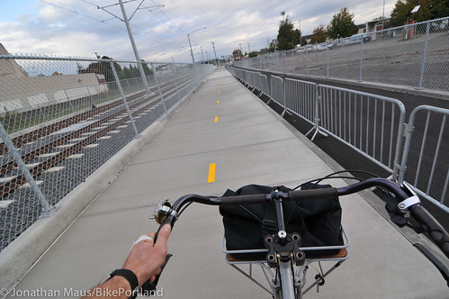
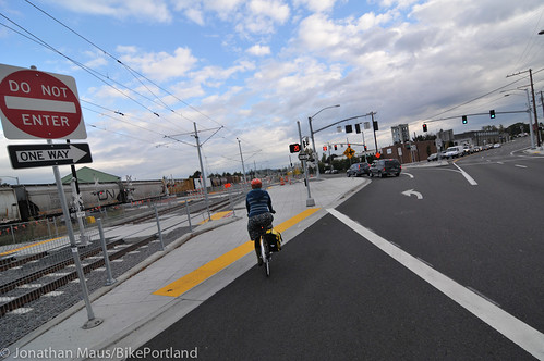
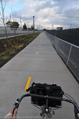
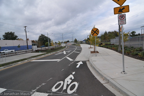
The new multi-use path is open right now starting at SE 8th and Division Pl. There’s a wide curb ramp that is a combo path/sidewalk at first that then splits into path-only and follows the new rail line to the multi-pronged intersection of SE Clinton, Milwaukie, 11th and 12th. At 11th and 12th, bicycle riders will wait for a signal and cross in the crosswalk…
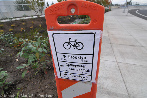
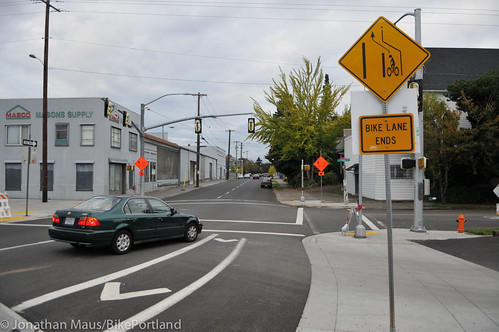
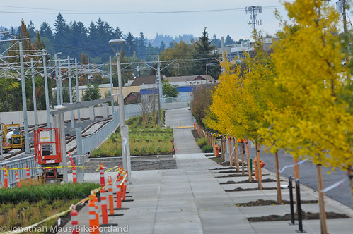
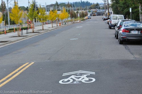
Then, at the new MAX station at SE 12th and Clinton, the bike route goes onto SE Gideon where they’ve installed sharrows for two long blocks until the dedicated path starts up again. This path connects right to the new bridge over SE Powell. (Note the temporary bike route directional signage. I assume this will be made permanent eventually.)
Advertisement
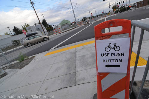
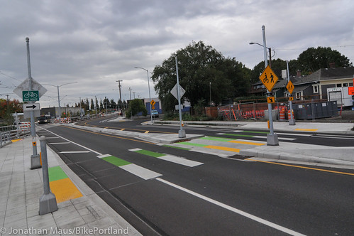
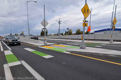
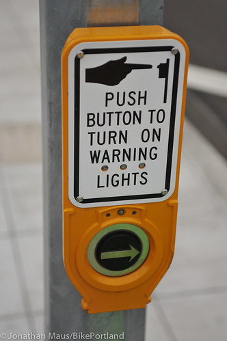
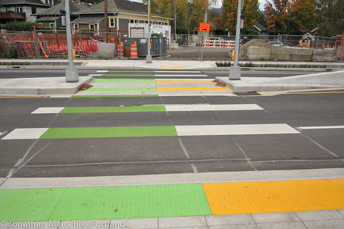
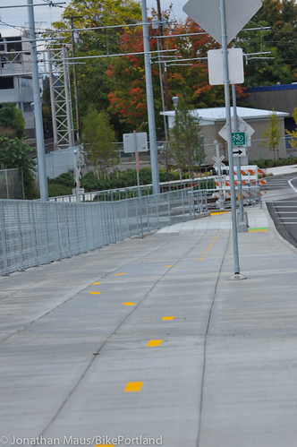
Going up and over the path on the new SE Powell flyover bridge (which has been open since last year) shifts your direction to the south. If you want to continue south, there’s a new bike/walk crossing facility just before SE Pershing Street. The crossing is push-button activated and comes with ample signage, flashing lights, and a voice that blares “Cross street with caution, vehicles may not stop!”. You’ll note that this crossing is meant specifically for bicycles because of the color treatment — yellow for walkers, green for bikers…
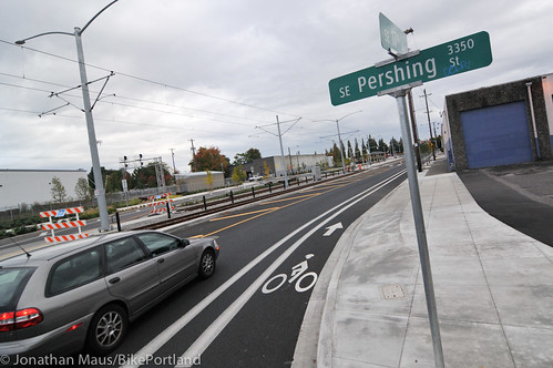
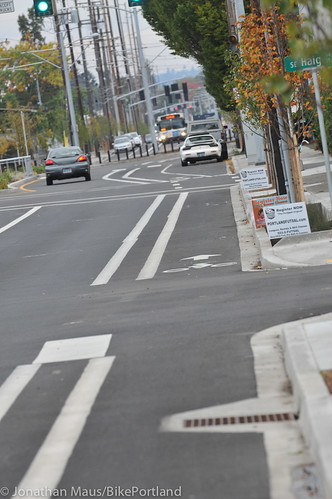
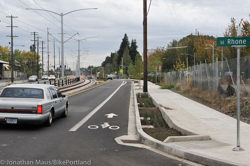
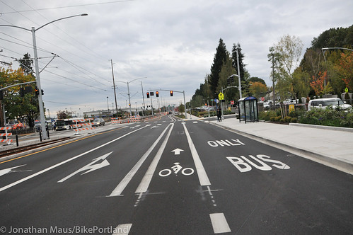
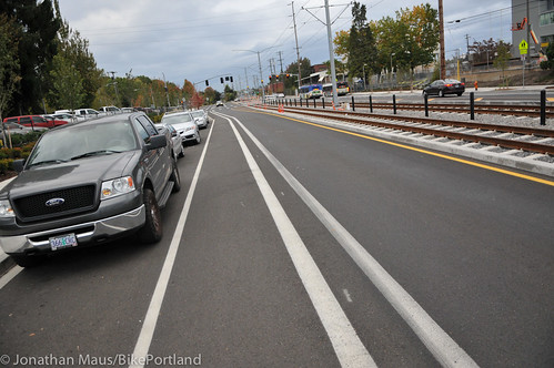
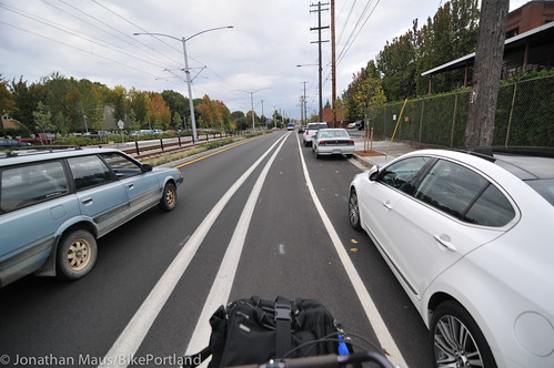
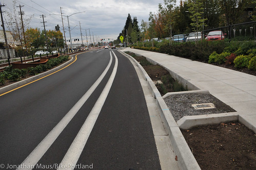
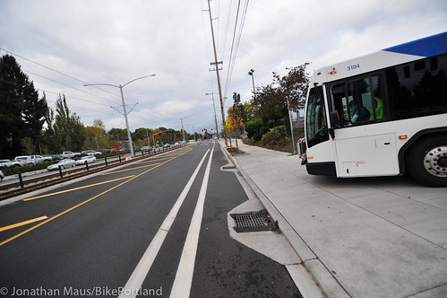
Continuing south you are now on SE 17th, which has been striped with new buffered bike lanes from SE Powell all the way down to Holgate. The bike lane feels like a standard 5-6 foot width plus a 1-2 foot buffer…
Coming back north from Holgate, it’s pretty much the same. It’s a buffered bike lane from Holgate to Pershing, then the bike lane lead directly up onto the sidewalk/path that will get you back to the Powell Blvd bridge…
Now that you have a sense of what’s out there, here are a few thoughts I scribbled in my notebook:
— In the northern section there are pretty good crossings over the tracks to access SE 8th, 9th, 11th, and 12th. However, once you cross the tracks, you’re left with pretty much nothing in terms of dedicated bike infrastructure — so brace yourself!
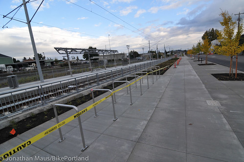
— It’s great to see all the bike parking at the new Clinton/12th MAX station, but it seems — especially if we have $1.5 billion to spend — we should at least add some sort of roof over it.
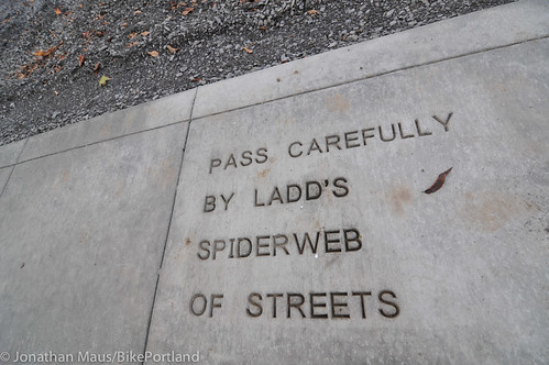
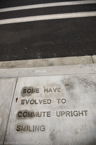
— The public art poems, scrawled anonymously in the sidewalks and paths, are a fun diversion. Two of them in particular stood out: “Some have evolved to commute upright smiling,” and “Pass carefully by Ladd’s spiderweb of streets.”
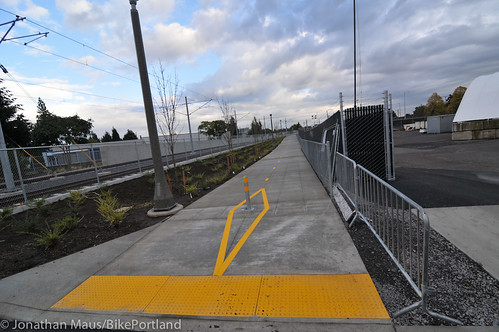
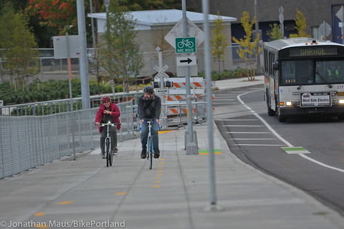
— This sign placement on the ramp up to the new Powell bridge is unfortunate. One insignificant sign causes a jog in an otherwise direct path. I hope they add some reflectors to it before someone rides into it in the dark… UPDATE, 9:50 pm – According to our friend @Howrad on Twitter, PBOT has already added safety signage on the pole to prevent folks from running into it.
— The buffered bike lanes on SE 17th are better than nothing; but I can’t help but think it was a huge missed opportunity to not get a protected bike lane here. There’s a nice planter strip in some sections that should have been the outside edge of a protected bike lane. I just don’t understand how we spend $1.5 billion on a transportation project that started with a clean slate and we build what amounts to 1990s bike infrastructure. When I ride 17th with my kids, I’ll probably use the sidewalk.
Reader Carrie Leonard said the changes have “had a significantly positive impact” on her family. The Leonards live on SE 19th in Westmoreland (north of Bybee). Carrie’s daughter goes to Cleveland High School and uses the new bike lanes on 17th and the new paths along Powell. “She has done this the past two mornings at 6:30 am,” Carrie shared with us via email, “and it’s So Much Better with the buffered bike lane and one lane on 17th (and the dedicated bridge over Powell) than crossing at 26th.”
My few quibbles aside, this project will have a huge and positive impact on biking in this area. The presence of SW Powell and other large and fast streets, as well as the impenetrable Union Pacific Railroad tracks made bikeway connectivity in this area abysmal before these changes came. (The Springwater is great, but it’s not convenient for running errands, meeting friends, or getting things done on Division or other points north of Powell.)
“The link between Westmoreland, SE 17th, and then SE Clinton just makes it easy and safe to get North,” Carrie said, “We are dedicated bike people, but even for us there were barriers to getting north of Powell from our location. This bridge and the improvements on 17th have removed that barrier.”
— Get full details on both of these sections of the project via PDFs available here (Caruthers to Gideon) and here (SE 17th). Have you used this new infrastructure yet? We’d love to hear from you.
