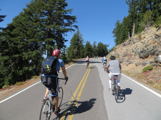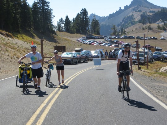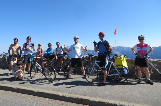
(Photos by Rebecca Hamilton)
As we mentioned in the Weekend Event Guide, Saturday is the last day this year to experience a carfree ride around Crater Lake. Contributor Rebecca Hamilton experienced it last week and has some tips to share.
Crater Lake National Park will host its last carfree day of 2014 this Saturday, September 27th. Although the West Rim Drive will remain open to motorized vehicles, the East Rim Drive’s 24 miles (of the 33-mile loop) around the caldera rim are yours to enjoy on foot or two wheels without a single stop sign or RV along the way.
I joined a group of Portlanders who traveled south and tried this out last weekend. We picked up a few tips worth knowing if you decide to go:
Timing
It took two fairly strong cyclists on road bikes about four hours to complete the loop, which included generous time spent stopping at overlooks and reading informational signage about Park ecosystems. Experienced cyclists who don’t care about scenic beauty or the lifecycle of the Clarke Nuthatch could ride it much faster; but why rush? Stop for the vistas and save the wind sprints for the less breathtaking stretches of road in your life.
Check the weather
At 7,000 feet, the weather can make or break your day. While our group last weekend enjoyed blue skies and 85-degree weather, it’s telling that no one who went on last year’s September carfree days would even consider the invitation to go again due to traumatic memories of something they referred to as the “thunder snows.”
It’s not the Springwater Corridor
You’ll be doing + 3,000 feet of climbing and the elevation adds an extra challenge for those accustomed to breathing the oxygen-dense air of Portland. The loop won’t faze a determined commuter but this is definitely not a beginner’s ride.
Ride counterclockwise
For 90% of the ride, one direction is as good as the other. If you go clockwise, however, you’ll be ending your peaceful, pleasantly exhausting ride with 3 miles of climbing up a 4% grade in steady traffic. It’s do-able but feels like ending a yoga class with a fire alarm. Bonus: if the day is hot, the counterclockwise trip will put you at the Cleetwood Cove jumping/swimming spot at about mile 22 of your ride.
Road bikes are recommended
This is a ride of both long, sustained climbs and glorious 5-mile descents, so an average rider may be most comfortable on a bike with a wide gear range and thinner tires. All our mountain-bike riding friends made it, however, and we did see a few SuperParents riding with kids on tag-alongs. Anything is possible if you’re willing to put the work in. The people on tandems looked like they were having most fun, at least on the downhills.
Check your brakes
Most of the descents are less steep than what you’d find coming off of the West Hills, but they’re long and you pick up a lot of momentum after several miles of downhill. There are also a number of places where the road has been damaged by freeze-thaw cycles or rockfalls that require quick responses when you’re travelling at speed. Replace borderline brake pads and tighten loose cables before you go.
It’s a real volcano
There aren’t any snack vending machines or drinking fountains along the way so bring what you need. There is a primitive restroom located halfway around at the Whitebark Pine Picnic Area.
Go
It’s no understatement to say that this is one of the Great Experiences of Oregon. The chance to bike around the rim of a car-free Cascadian volcano caldera filled with a lake that created its own shade of blue is either why you moved here from Iowa or why you’re native Oregonian and will never leave. Just be sure to check the weather report for those pesky thunder snows.
Here are a few more resources:
—Official Crater Lake National Park Bike Map (PDF)
—GPS of the counter-clockwise route with elevation profile
— Official National Parks site: Vehicle Free Days on East Rim Drive
Have fun! And make sure to comment or Tweet @BikePortland to share your photos and reviews of the ride.


