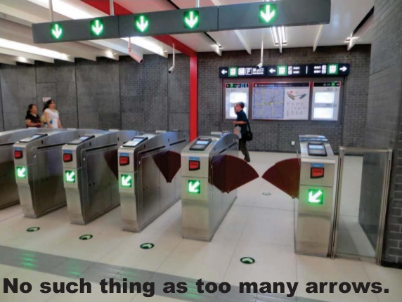
How easy is Portland’s transportation system to use, really?
It’s hard to imagine it getting a good review from anybody who’s tried to ride a bicycle to or from its biggest suburb, for example.
But the notorious labyrinth of bike paths to Vancouver aside, there are a lot of issues with our navigation system. What are we supposed to call all the neighborhood greenways that jump from one street to another? Wouldn’t it be great if street signs pointed to the bike-accessible beaches of Swan Island, the same way road signs point to the car-accessible beaches of Tillamook County? And how the heck are we supposed to keep the CL Streetcar and the NS Streetcar straight from each other?
In a rapid-fire slideshow presented during Monday’s wonky afterparty for the Oregon Active Transportation Summit, planner Rebecca Hamilton of Portland-based Lancaster Engineering drew some transportation usability lessons from a recent residence in China. Though the show is mostly visual, it’s fairly easy to get her ideas.
Related: a comment from reader El Biciclero, posted beneath this week’s post about transportation obstacles for local teens.
“Route finding,” the commenter wrote. “That this is even something that needs to be taught is a shameful indictment of the state of transportation equity. It makes bicyclists out to be a mouse in a shopping mall.”

