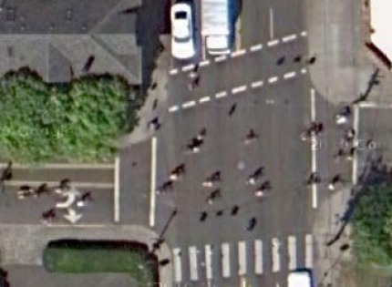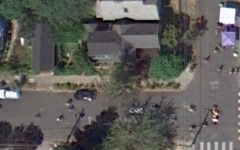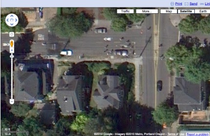
Sunday Parkways as captured by Google. Scene shows a crowd crossing SE 39th on Lincoln.
It seems like pure serendipity that Google decided to refresh the aerial imagery used in both Google Earth and Google Maps on August 15th, 2010 — the same day of Portland’s Sunday Parkways event in Southeast.

SE 34th and Salmon.
The mapping gurus over at Metro pointed out to me this morning that Google Earth’s 2010 aerial imagery for the entire Portland metro region was done on August 15th. The new images are already live.
Check out the route of Sunday Parkways Southeast or just start here and let us know if you find any other fun scenes caught by Google (images of Sunday Parkways are only in “overhead” view, not 45-degree view).

