
Today the city released the names of thirteen Portlanders who will be considered for appointment to the Independent District Commission (IDC), a body tasked with establishing the geographic boundaries for future City Council districts.
The IDC was part of the city charter reform overwhelmingly approved by voters last November. As stipulated by the reform, the candidates have been selected by the Mayor and will be formally appointed by the City Council on January 25th. Here’s the list:
- Amanda Manjarrez
- Arlene Kimura
- David Michael Siegel
- DaWayne Judd
- Edie Van Ness
- Joshua Laurente
- Kari Chisholm
- Lamar Wise
- Melody Valdini
- Neisha Saxena
- Paul Lumley
- Sharon VanSickle-Robbins
- Steve Fleischman
Of the nearly 300 applications for the positions, Mayor Wheeler stated that, “We received phenomenal applications from so many wanting to engage fellow Portlanders and create districts in which all residents feel represented in their city government. We see and are counting on the continued momentum to change our City’s future.”

The IDC faces a September 1, 2023 deadline for adoption of a districting plan.
The charter reform has strong guard rails to protect the IDC from the temptation to gerrymander:
The Independent Districting Commission would ensure that each district, as nearly as practicable, would be contiguous (one connected piece), utilize existing geographic or political boundaries, not divide communities of common interest, be connected by transportation links, and be of equal population.
The equal population requirement presents an obvious challenge because of the Willamette River— a geographic barrier which throws a curve at contiguity. The problem is that less than a quarter of the city’s population lives west of the river. This means that a small portion of the east side must be included in a majority west side district to arrive at the required “equal population” of 25%.
This is not a surprise, and possible boundaries accommodating this were floated last year. They all involve taking a neighborhood along the east side of the river and connecting it to the western district.
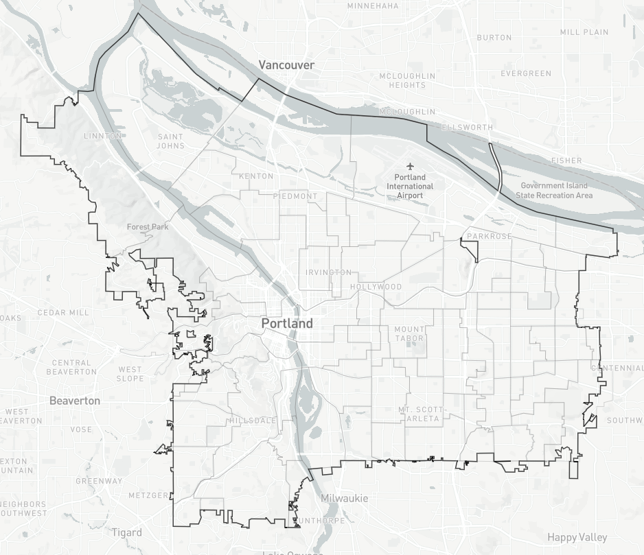
If you think you can do better, consider playing along with the Districtr tool, from the Metric Geometry and Gerrymandering Group (MGGG). It lets you compose districts by selecting Portland neighborhoods from a map and helpfully keeps a running tally of the population count so you don’t go overboard.
As we move closer to implementing a four-district city council, I’m expecting to see more maps like the one Roger Geller presented to the Bicycle Advisory Committee, the Percentage of Planned Bikeways Built. City councilors will want to know what assets are coming to the district they have been elected to represent. That means more data presented geographically, by district.