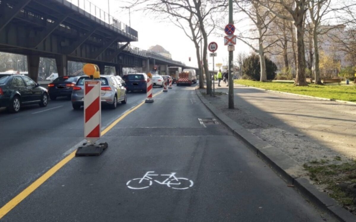
(Photo: District office Friedrichshain-Kreuzberg of Berlin)
The idea of making temporary changes to streets to address new traffic realities during the coronavirus pandemic gains steam every day. Simply put, requirements for healthy social distancing are not possible when people who use cars take up the vast majority of space on our streets. People who walk, bike, and use mobility devices are squeezed into narrow spaces which force them to make a terrible choice: Remain on sidewalks or bike lanes and catch or spread the virus, or veer out onto the street where they could be struck by a car user.
In the past week, the idea of social distancing-compliant streets has moved quickly from activists to governments.
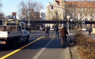
The city of Berlin is one of the first I’ve heard about to expand cycling space specifically in response to the pandemic. In a statement made today, the Friedrichshain-Kreuzberg district office said they’ve implemented two projects already. Via Google Translate, “The primary aim of the measure is to enable the currently increasing use of the bicycle while maintaining the safety distances in accordance with the Covid-19 containment regulation. Positive aspects of traffic safety in road traffic can thus be combined with support for the applicable infection protection requirements.”
As you can see in the images, they used temporary materials including plastic bollards, stencils and striping to achieve the desired lane reconfigurations.
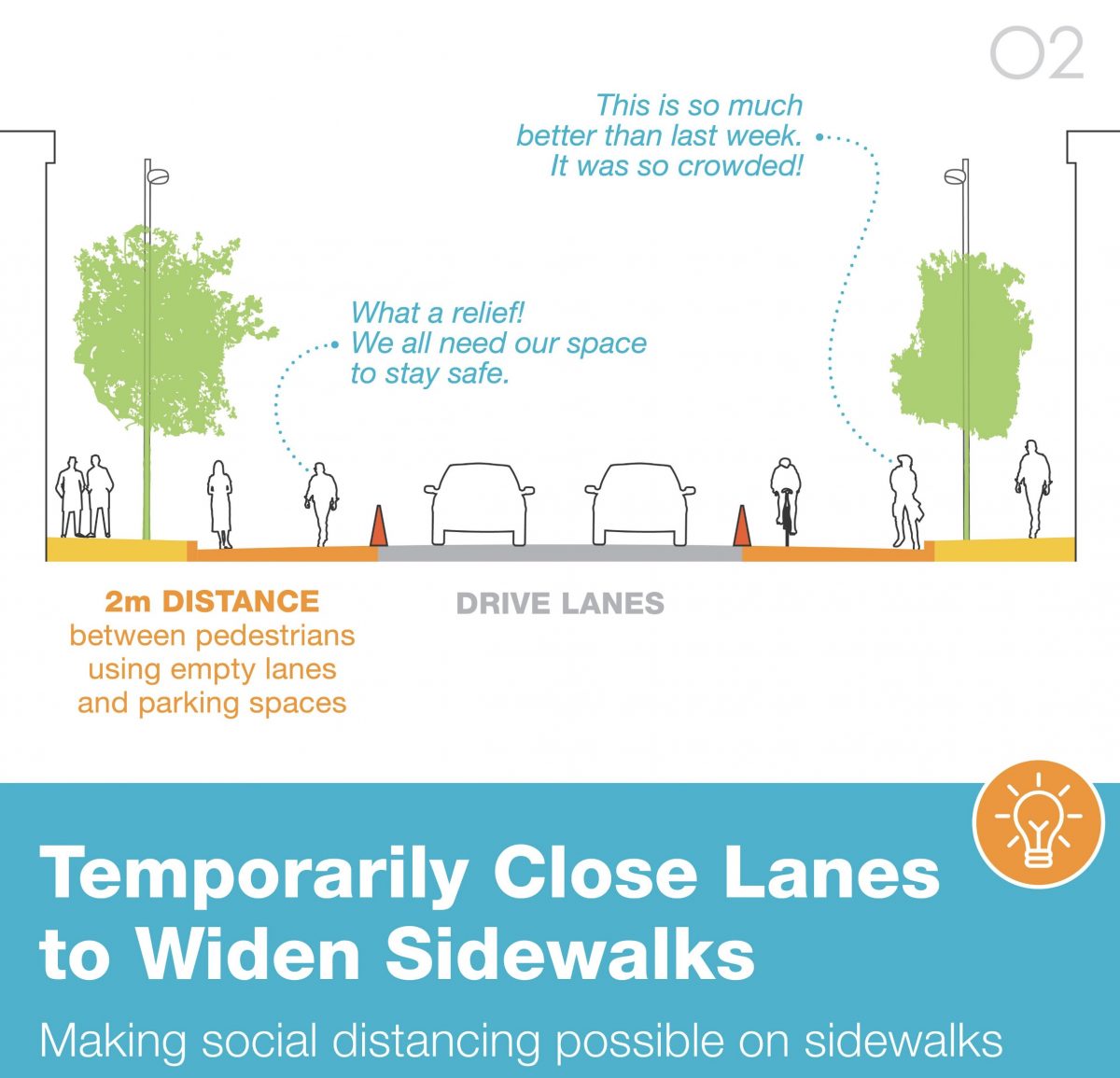
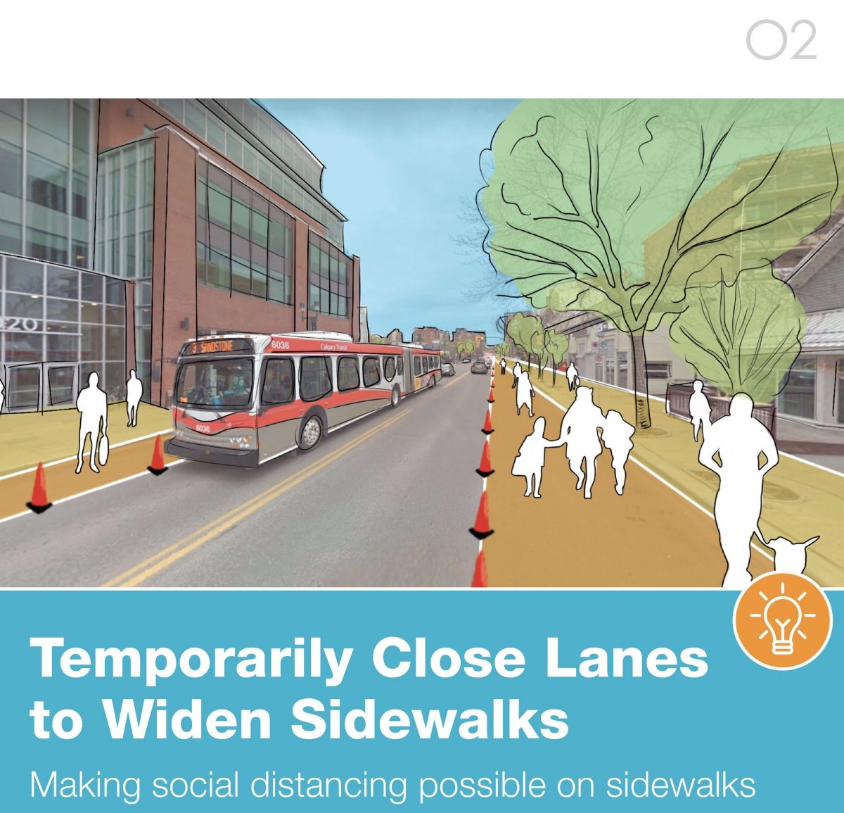
For more inspiration, we can look to Calgary, Alberta-based 02 Planning + Design. They just released four graphics showing basic guidelines for how to make streets social distancing compliant:


Closer to home, Toole Design (whose local office includes Senior Engineer Rob Burchfield, the former PBOT City Traffic Engineer who led the implementation of our first protected bike lane on SW Broadway in 2009) says it’s “Time to adapt.” In a post yesterday, the firm outlined five strategies to implement during the pandemic: Implement bikeways quickly, reduce risk by bringing down vehicle speed and volume, find ways to allow for socially distant outdoor time, eliminate pedestrian crossing push-buttons, and use curbside management to facilitate pick-up and drop-off.
Advertisement

In New York City, noted nonprofit Transportation Alternatives has reached out to their Department of Transportation with a list of potential streets, “That could be converted into social distancing-friendly places for people.” NYC Mayor Bill de Blasio has announced a plan that will create two streets per borough that will be open only for biking, walking and rolling.
Another example comes from the city of Denver, Colorado where City Councilor Chris Hinds has asked his Mayor to consider closing streets to drivers, “To increase social distancing opportunities while walking and biking.” “We’re all sheltering at home, so there are far fewer demands for drivers who need to get from A to B, so let’s use those streets for people,” he said.
Portland’s parks bureau took a great step forward today by banning cars in several major local parks. So far PBOT Commissioner Chloe Eudaly has said she’s working on something but we haven’t seen any details.
While we wait to hear more, let’s put our heads together and come up with a list of streets that could be easily reconfigured for social distancing. (Keep in mind we’re only talking streets managed and owned by the City of Portland (not Multnomah County or Oregon Department of Transportation).)
Here’s a few off the top of my head:
— Sandy Blvd from the Central Eastside to city limits (not necessarily all of it, but why not consider all sections?)
— N Willamette Blvd from Interstate to University of Portland.
— NW 13th from Johnson to Burnside
— NW Front
— NW Nicolai
— SW Barbur (inner section that PBOT owns)
— Calle Cesar Chavez
— E Burnside
Where else?
— Jonathan Maus: (503) 706-8804, @jonathan_maus on Twitter and jonathan@bikeportland.org
— Get our headlines delivered to your inbox.
— Support this independent community media outlet with a one-time contribution or monthly subscription.

