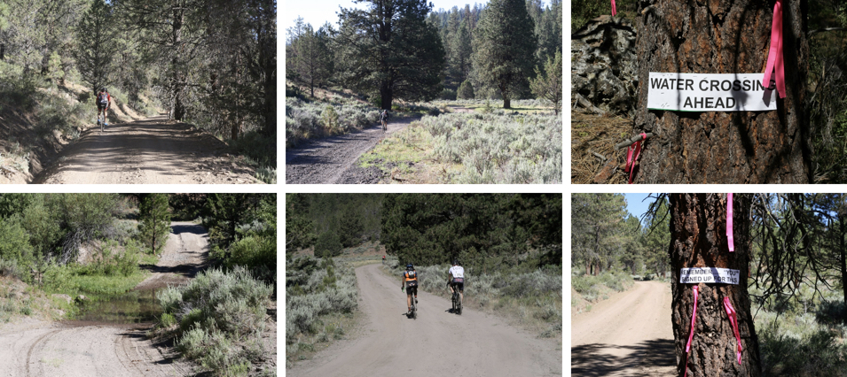
(Photos: Harney County Chamber of Commerce)

About 130 miles east of Bend lies the small, high desert town of Burns, Oregon. People from the Northern Paiute tribe have lived there for thousands of years. Today, like many eastern Oregon towns, the area gets by mostly on farming now that most of the big timber is gone.
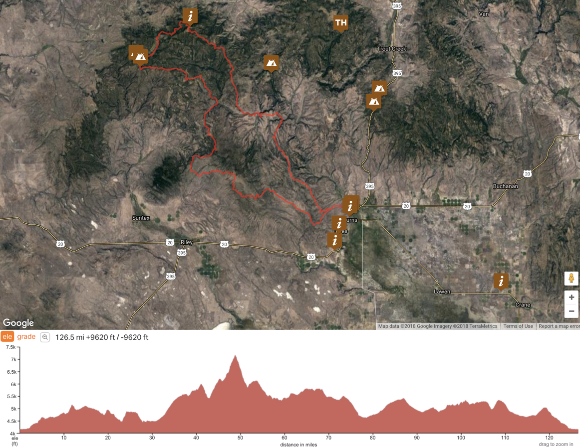
But there’s another natural resource that is just coming into its own: unpaved roads that are perfect for bicycling. And an interesting partnership of local, state and federal agencies are leading the charge to promote them. The marketing vehicle for this new discovered asset is the Skull 120/60/30/Relay ride — a combination endurance/gravel/cross-country/sightseeing race/ride that will roll out on its second annual edition June 16th.

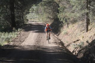
Billed as “America’s gnarliest gravel race,” the route takes advantage of remote dirt roads and goat tracks to lead riders on a memorable adventure in the Malheur National Forest northwest of Burns.
The Skull is the culmination of a collaboration between Harney County Chamber of Commerce, Oregon State Parks and Recreation, the U.S. Forest Service, and the BLM. “The SKULL 120 atmosphere is very casual,” says one of its boosters, Eric Herboth of Ren Cycles, “and the focus is on having fun on our public lands.”
Advertisement
https://www.youtube.com/watch?v=d3OhpQCDGEQ
Local racing veteran Seth Patla did the 120 route last year and says the Skull is the toughest gravel ride he’s ever done.
Herboth says beyond the riding, the event is about supporting resource stewardship and land conservation. “As civic-minded outdoor enthusiasts we can be quick to recite lists of what our fellow citizens in remote open spaces shouldn’t do with the land — don’t drill it, don’t mine it, don’t log it, don’t graze it, and so on. We should all know by now that a negative list of don’ts is far less effective in spurring greener avenues for rural economies than a positive list of things we can do.”

Route designer Cameron Sanders with the US Forest Service says the event is part of their effort to, “Increase social equity and economic resiliency through cycling and cycling-based tourism.” Sanders and other promoters of this event are looking to build the Skull into a large event that helps put Harney County’s cycling assets on the map for people from all over Oregon and beyond.
It’s just a five-hour drive from Portland and there are plenty of places to camp and stay overnight. Register and learn more about the event at AdventureHarney.com.
CORRECTION: This article was edited to reflect the fact that members of the Northern Paiute tribe weren’t just the first people to live in this area — they still live there! Thank you to commenter Vanessa for pointing out my mistake.
— Jonathan Maus: (503) 706-8804, @jonathan_maus on Twitter and jonathan@bikeportland.org
Never miss a story. Sign-up for the daily BP Headlines email.
BikePortland needs your support.

