

(Photos: J. Maus/BikePortland)
The Ride is brought to you by River City Bicycles.
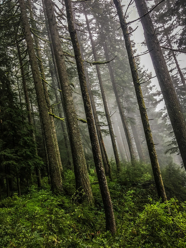
Larch Mountain stands 4,061 feet above the Columbia River in east Multnomah County. The 14-mile climb up the paved road that leads to the summit of this extinct volcano is a thing of magic and/or misery for local bicycle riders.
But there’s another side of this majestic mountain. A side that was revealed to many people for the first time via The Dark Larch ride on Saturday.

The ride was the latest product of two of Portland’s most creative and enthusiastic bike adventure ambassadors: Our Mother the Mountain and Unpaved. Both of these entities are loosely organized online guides. They connect people with a passion for dirt and gravel roads with advice on routes, a calendar of group rides, an email list and other resources. It’s the same crew that brought us the Timber Logjam ride back in February.
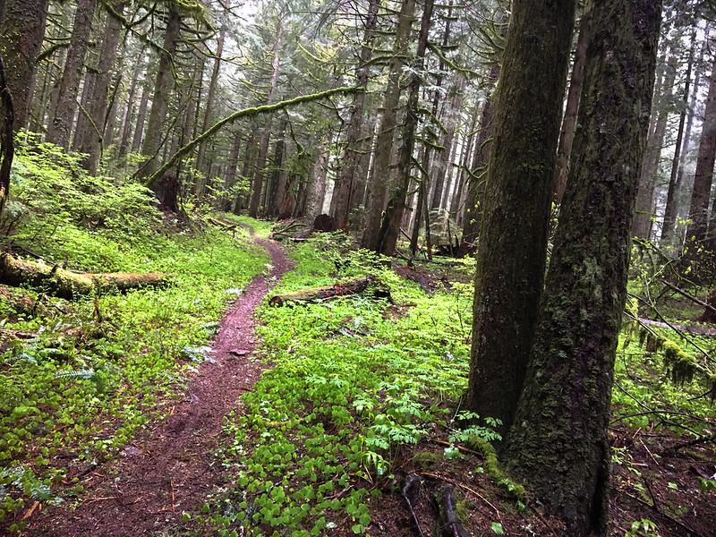
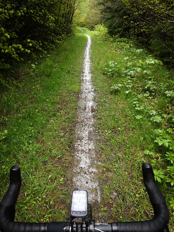
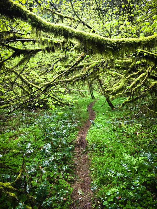
The Dark Larch was a perfect example of their work. The route was in an area many people know well; but the trails and tracks were hidden. I smiled when my GPS computer reaad: “In 500 feet, turn left on ‘unknown trail'”. By sheer force of will, Ryan Francesconi (Unpaved), Ron Lewis (OMTM) and their team stitched together a tantalizing network of forgotten backroads, overgrown logging roads, and thin singletrack through thick forests. “How did I not know this was here!” I kept thinking to myself.
Advertisement

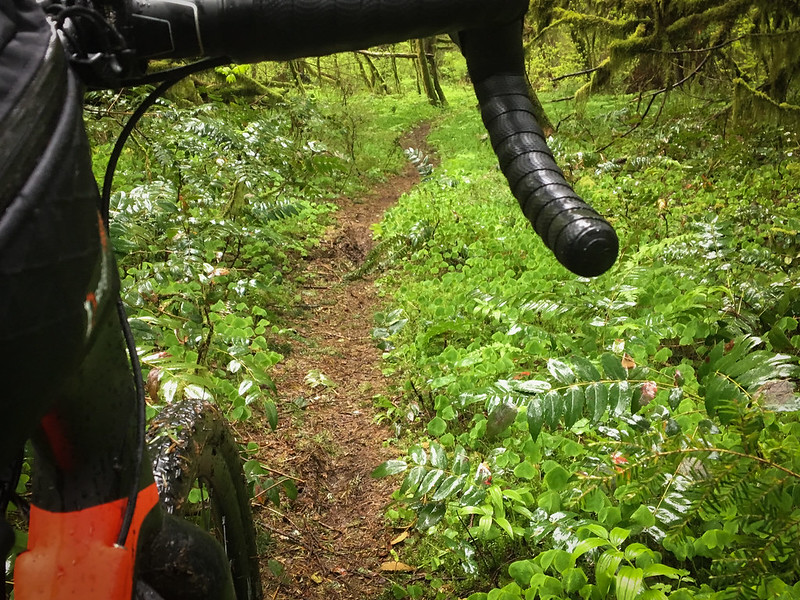
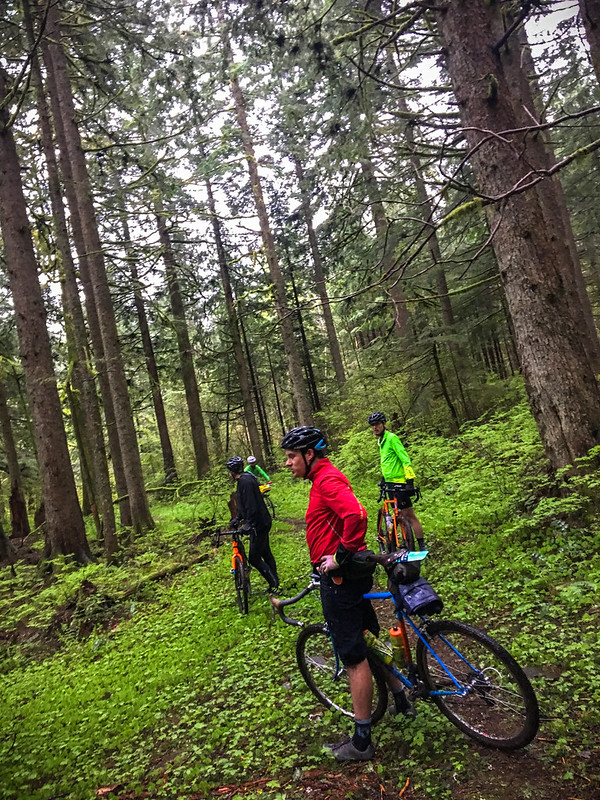
Saturday’s route of 50-miles and 5,400 feet of climbing was made all the more interesting due to incessant rain and near-freezing temps up on the high point of Larch.
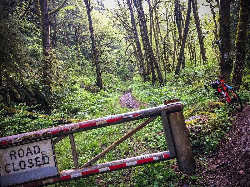
From Dabney we headed east on the Historic Highway all the way to Latourell Falls on the well-worn Gorge tourist path. Then it was straight up for two miles on the wet dirt and rocks of Alex Barr Road. We then connected to Palmer Mill Road (which was “closed”) and a few secret trails through the forest before coming out at the Larch Mountain Road gate (at mile marker 8, the top section of the road is still closed for winter).
It was nearly freezing at the highest point of our route. And by then most of us were pretty soaked through (I rode from north Portland and had about 40 miles of wet riding already). With domestic commitments and mechanicals looming, I opted to roll just before the second half of the route.
Yes, I know I missed some of the best sections of the ride. I also know I’ll be back very soon.
Download the route and learn more at The Dark Larch on Ride With GPS.
— Jonathan Maus: (503) 706-8804, @jonathan_maus on Twitter and jonathan@bikeportland.org
BikePortland is supported by the community (that means you!). Please become a subscriber or make a donation today.