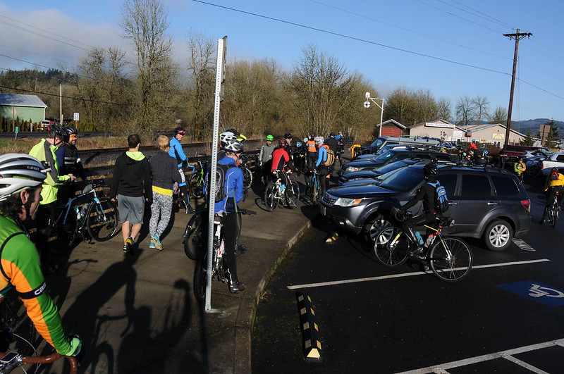
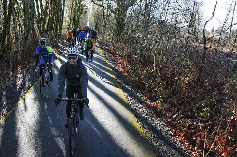
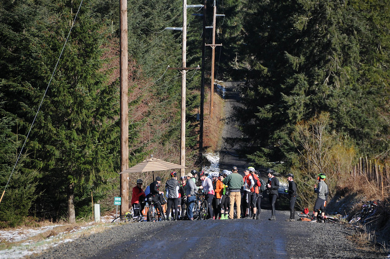
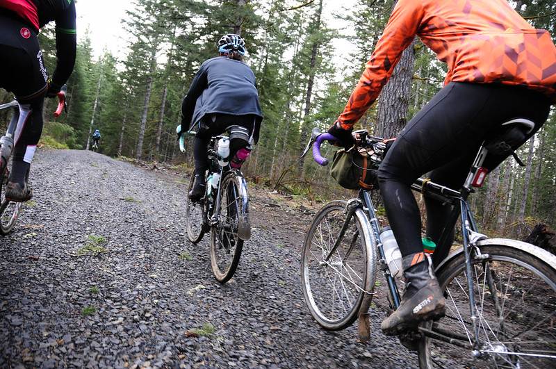
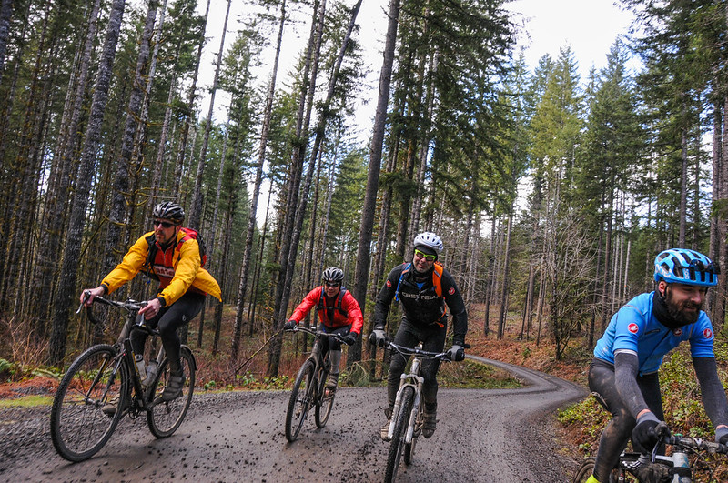
The Timber Logjam ride is a symbol of modern adventure cycling culture. Without formal organization or promotion, word of the ride spread through social media. And by Saturday, as welcome sun beat down through frigid air on the Banks trailhead of the Banks-Vernonia State Trail, about 70 people were on their bikes and ready to ride.
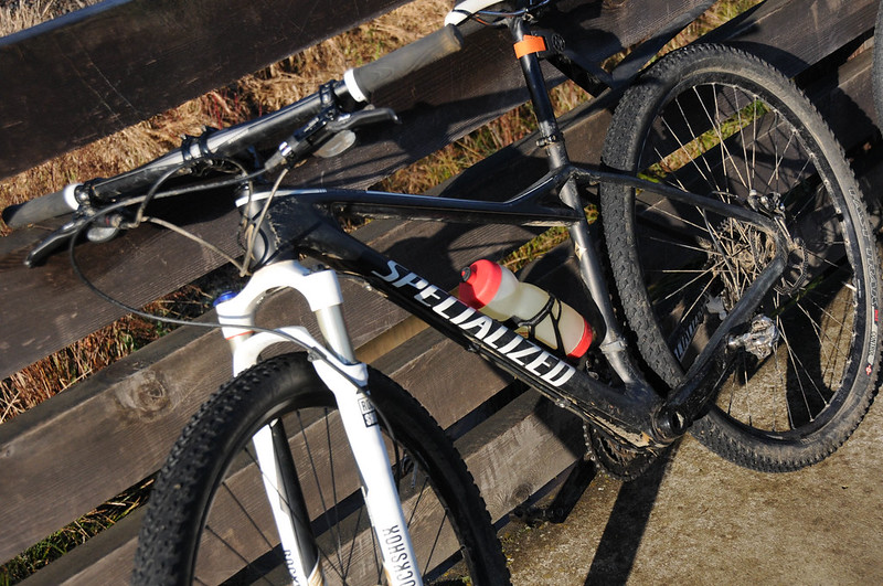
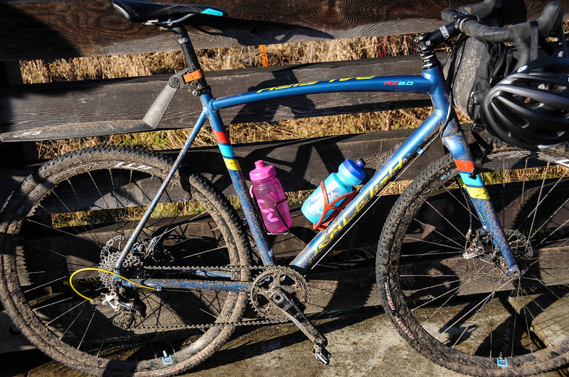
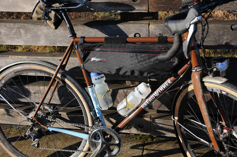
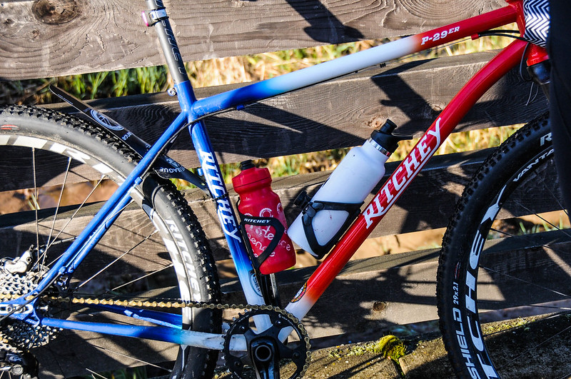
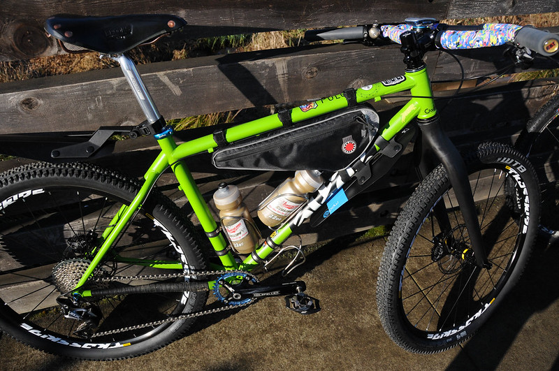
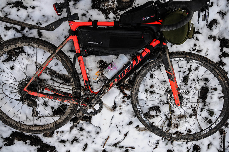
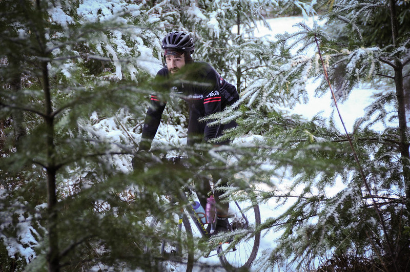
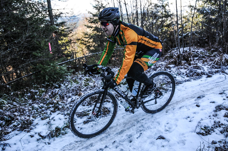
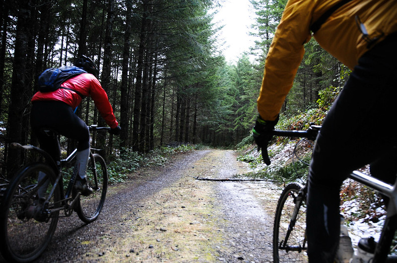
The bikes varied as much as the terrain they’d be coaxed through in the hours to come: There were mountain-bikes with front suspension, cyclocross bikes fresh off the racing circuit, “gravel bikes” (a term used by the bike industry in an effort to capitalize on interest in this type of riding), standard road bikes with fenders, and all sorts of genre-bending hybrids in between.
The route itself would be much more difficult (and daring) without the aid of helpful route-creation and navigational tools like Ride With GPS and various GPS devices. While the tools are modern, the challenge is as old as bicycles themselves: To explore the woods and have a fun adventure with some friends.
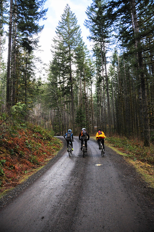
Saturday’s route — a loop of about 50 miles and 5,400 feet of climbing — would provide plenty of that.
Advertisement

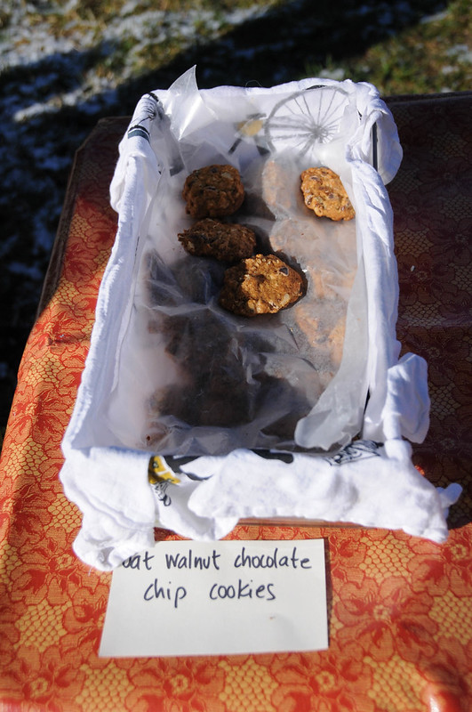
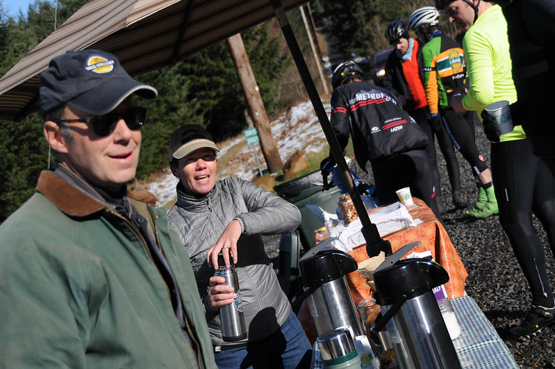
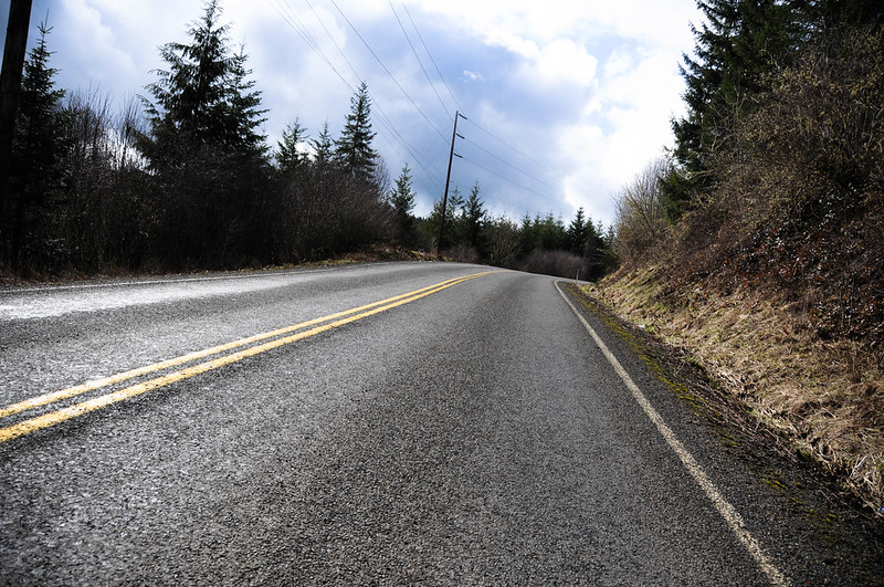
We rolled out from Banks and headed north to Bacona Road. After a few miles of standard gravel and dirt fare we descended Genzer Road where a local couple had set out a rest stop. Coffee, tea, homemade walnut chocolate chip cookies, and lots of other treats were generously offered by Bacona residents Jay and Alison Graves. Those names might be familiar to Portland bike advocates who remember Jay as the former owner of The Bike Gallery, a former State Parks Commissioner, and a former board member of Cycle Oregon. And of course Alison has been featured here on BikePortland many times for her work as the former executive director of the Community Cycling Center and Cycle Oregon.
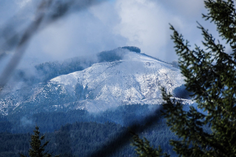
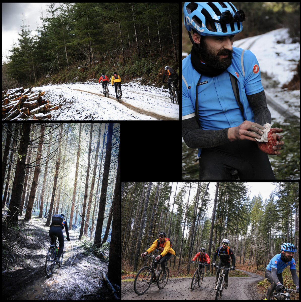
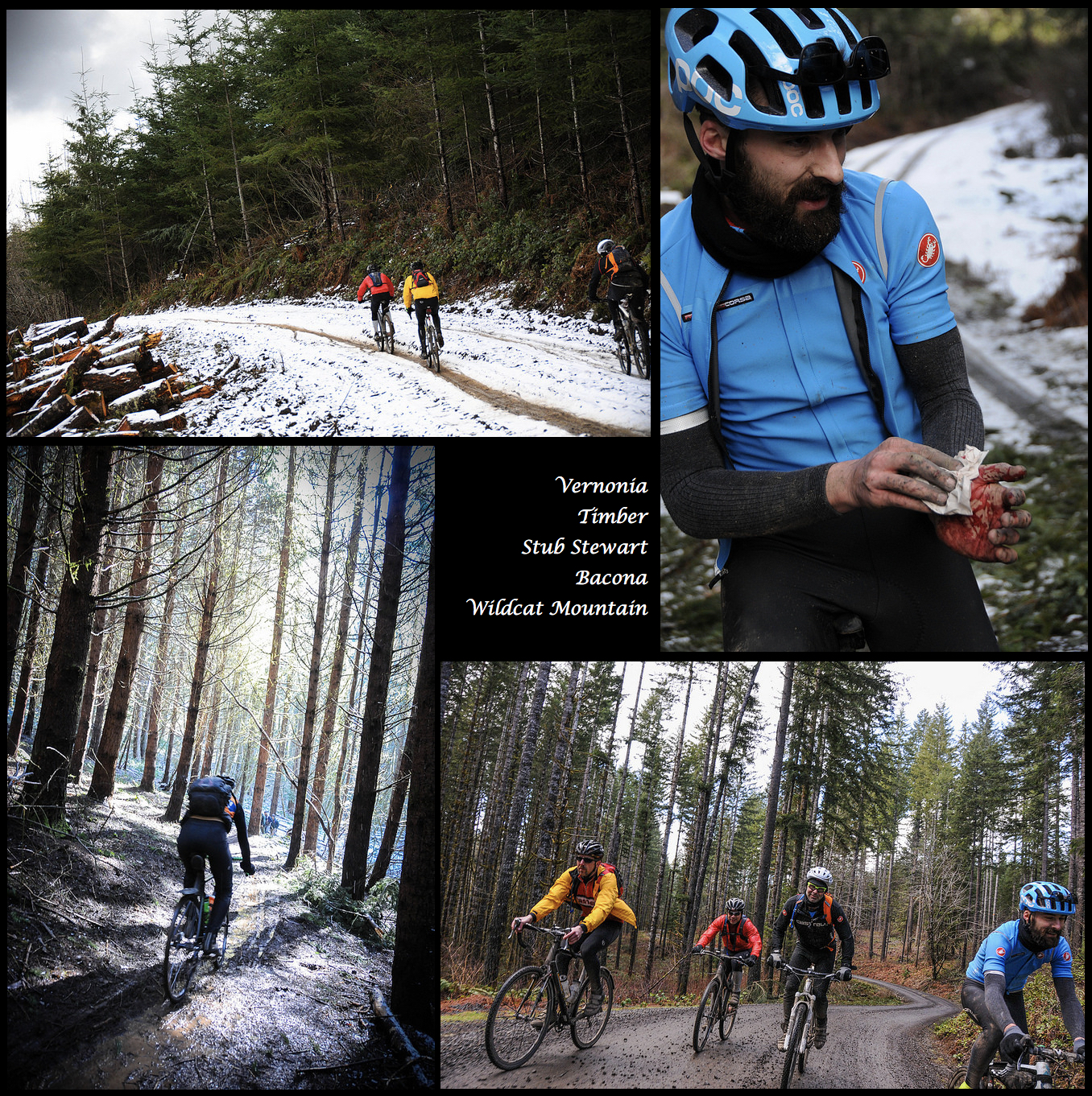
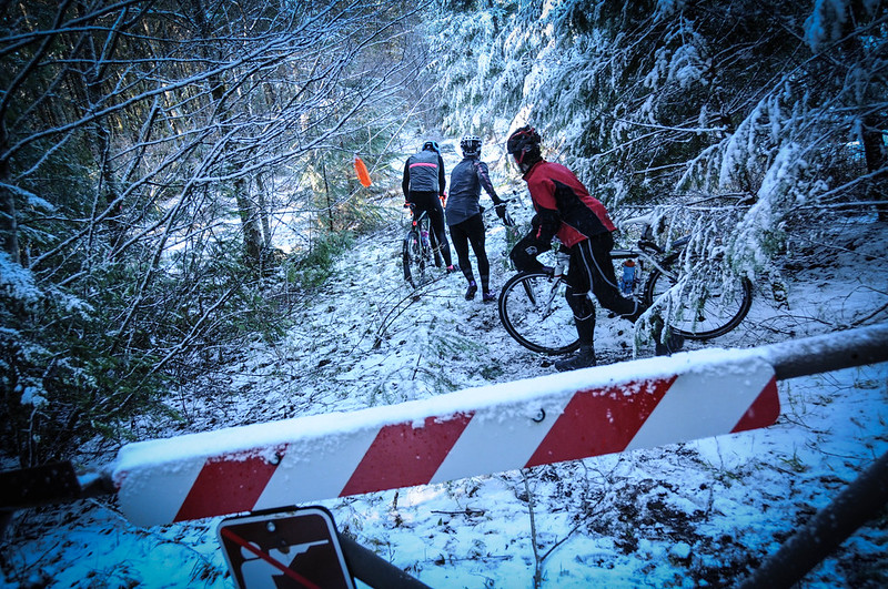
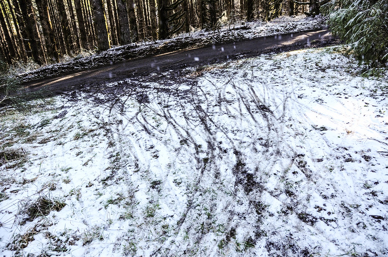
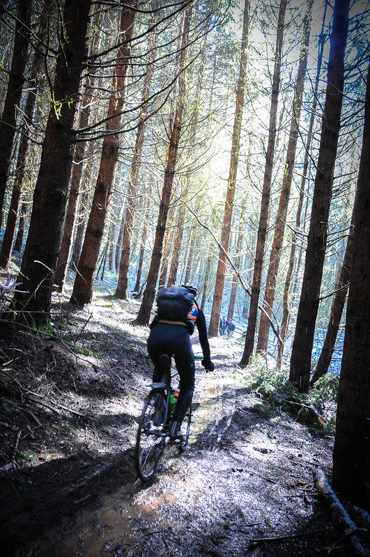
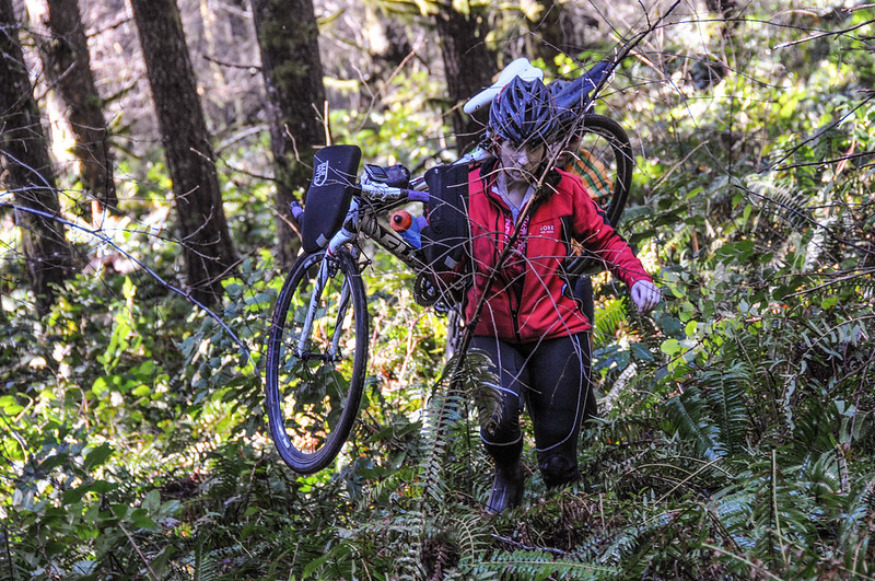
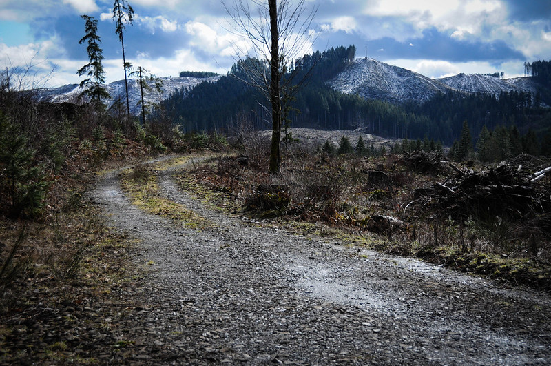
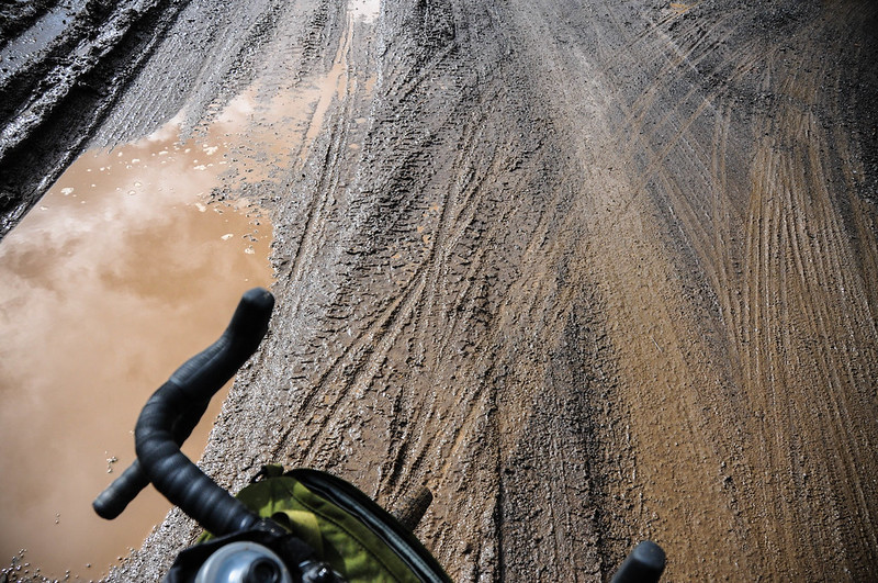
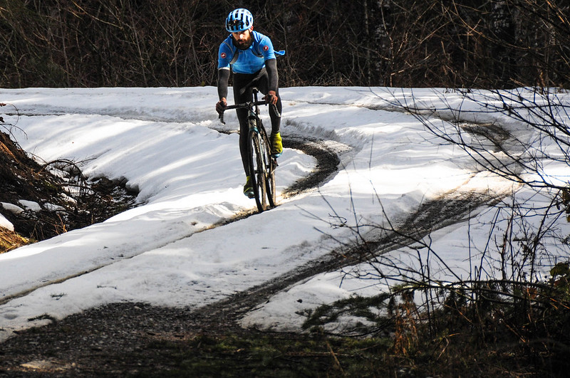
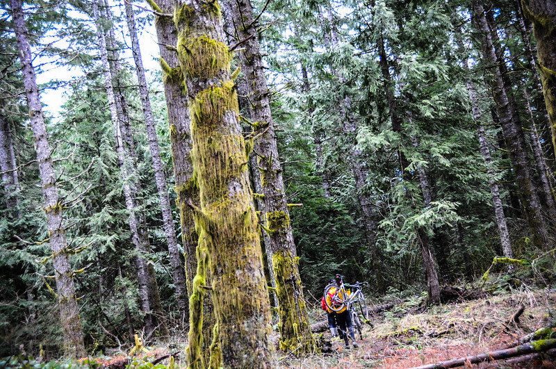
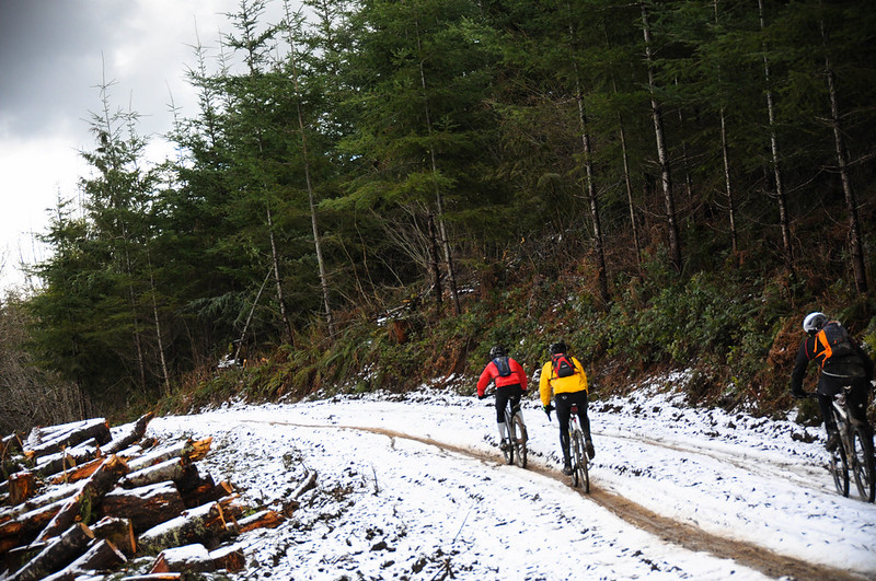
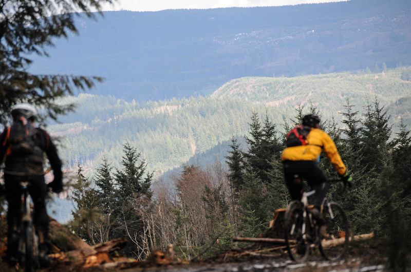
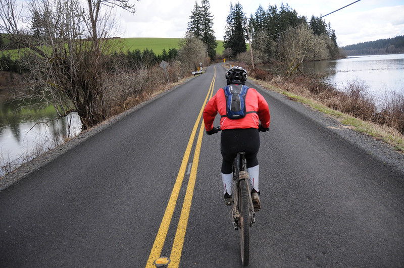
After that roadside hospitality, the adventure really began. There was snow in the air and on the ground when our route took us into Stub Stewart State Park at the highest point of our ride (1,561 feet). After taking in the Unfit Settlement Viewpoint and its vistas of the coast range, we dropped into singletrack covered in a fun mix of mud, snow, and needles. The descent on Hares Canyon Trail was the perfect introduction to the conditions we’d face for the next four hours (or so). There were sections of mud and deep puddles with unknown contents, lots of logs to jam over, and several spots with so many downed trees we had to hike a path through the forest just to get around and stay on course.
At the top of our loop we turned off of Highway 47 and onto another dirt section on Johnson Road. This was a beautiful section; but it comes with a rather large asterisk. About 1.4 miles west of the highway there’s a locked gate and on Saturday there was a man at the gate concerned about the presence of all the bicycle riders. This part of northwest Oregon is a patchwork of private land owned mostly by two major timber companies: Weyerhaeuser and Stimson. Stimson has a very sensible policyreaked that says non-motorized vehicles are free to use their lands (albeit with caution and respect of course). Weyerhaeuser on the other hand recently introduced a permit program that requires all users — motorized or not — to purchase a permit. For bicycle riders it’s $75.
The gate at Johnson Road that was on Saturday’s route had a Weyerhaeuser sign on it saying only those with a permit could pass. It also had a real person in a white truck standing next to it who said he owned some of the land. Accounts from riders differ (the ride was very split-up by this point), but the man seemed to simply want to learn more about what was going on and remind people that beyond the gate was private land. By the time I arrived he was talking with another person in a truck and he seemed to nod and wave me through — as if to say “It’s fine. I know you don’t plan to stop, so just go on through.” It was all pretty confusing and after the two-mile gated section (a short but key section that makes this entire loop possible) I noticed the gate on the other end said the land was indeed owned by Stimson.
In the end, I was glad to hear from other riders that several groups stopped and talked to the man in the white truck. In the future, I’d avoid this part of the route unless you have a Weyerhaeuser permit (and never ride it during the week and/or when there is active logging in process). Unfortunately the permits are currently sold out and won’t be available again for sale until May. (Learn more and sign up to get one here.)
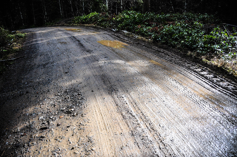
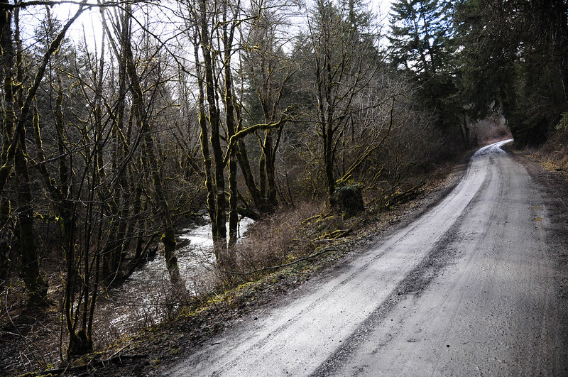
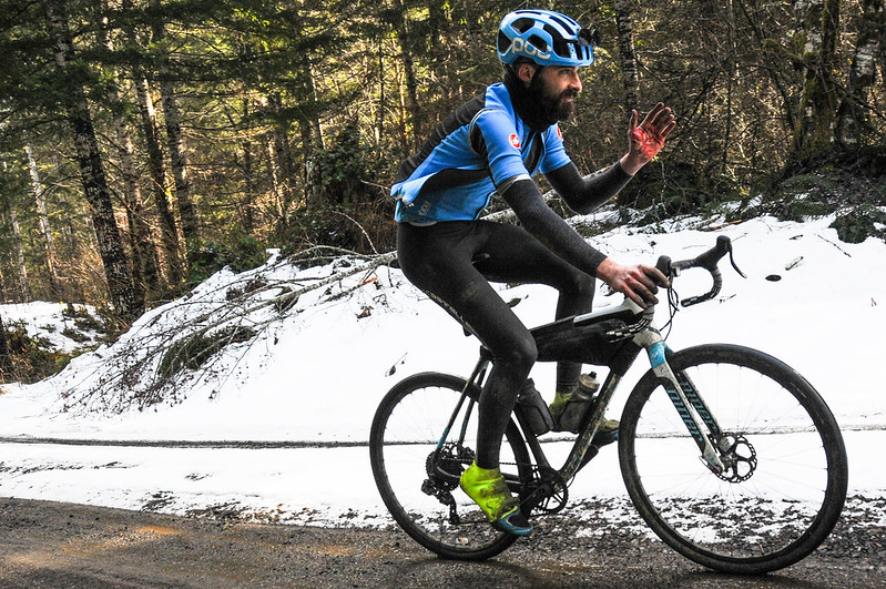
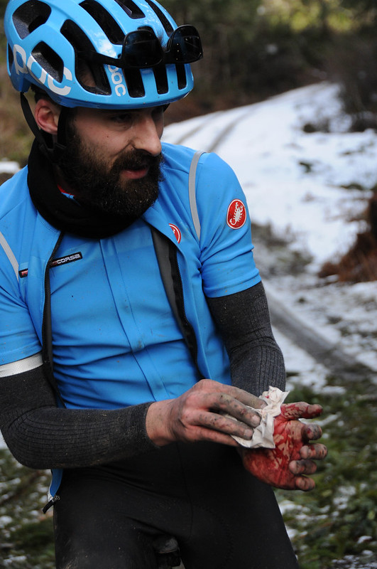
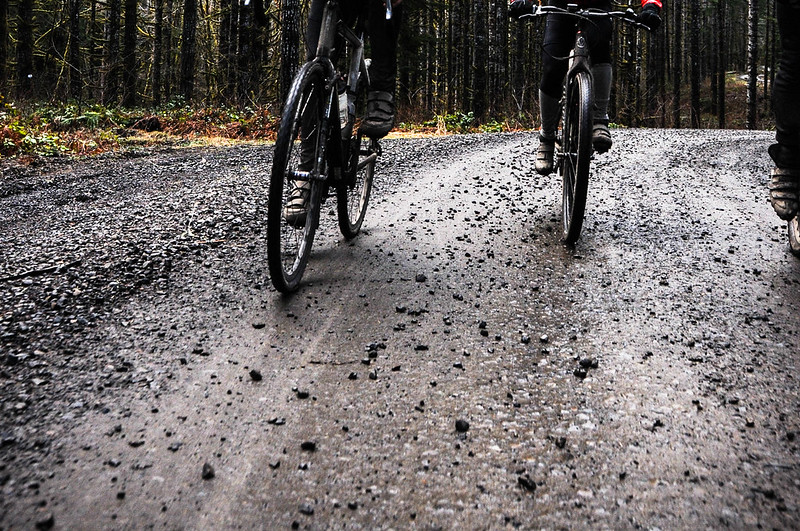
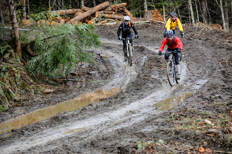
After Johnson Road and a brief jaunt on the pavement of Timber Road, we headed back into the forest via Lousignont Road. We left Lousignont rather quickly to begin a series of climbs that would take us to Carlson Creek Road and eventually back to Timber and the reprieve of pavement. The section between Lousignont and Carlson Creek was full of suprises. Big piles of fresh gravel wreaked havoc on bikes and bodies. I noticed several people slip out and get flats. One rider rolled by with a bloodied hand. He was lucky to find a man in a truck chopping firewood who came to his aid with paper towels and duct tape.
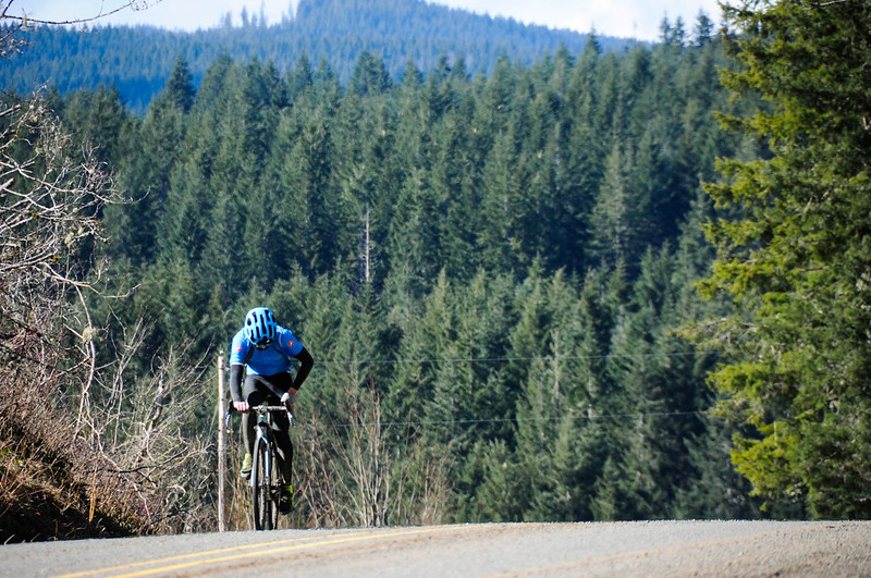
We rolled through the sleepy enclave on Timber toward our last big challenge of the day: the ascent of Wildcat Mountain. From Timber Road we were back on the dirt for a four mile, 900-foot climb punctuated by more bike-carrying and bush-whacking at the top. The descent from Wildcat Mountain to the finish in Banks was about 10 miles of pure rolling bliss. It started with panoramic views, sloppy mud and snowy singletrack and ended with dry skies and lakes on both sides of Cedar Canyon Road.
I’ve been wanting to do this ride myself ever since we published Gabriel Amadeus’ images of last year. Thankfully the family and weather gods cooperated and I was lucky to be able to enjoy this most excellent adventure.
One last note about the route. It’s relatively easy to get to the start via transit. I really don’t like to drive to ride my bike, so I hopped on the Blue Line MAX from Goose Hollow and took it to the end-of-the-line in Hillsboro. From there it was a flat and easy 13 miles to the start. Taking the MAX back home was also a nice way to decompress (and warm up a bit!) after the ride. Here’s my full route on RideWithGPS if you’d like to check it out for yourself.
— Jonathan Maus: (503) 706-8804, @jonathan_maus on Twitter and jonathan@bikeportland.org
BikePortland is supported by the community (that means you!). Please become a subscriber or make a donation today.