
(Photos by J. Maus/BikePortland)
This ride recap is sponsored by 21st Avenue Bicycles. They’ve stepped up to bring you more coverage of bikepacking and adventure rides. Stay tuned all year long as we explore the best backroads and bike-camping spots in Portland and beyond.
Just north of the Columbia River lies a bastion of unpaved backroads within striking distance of Portland. It’s the Gifford Pinchot National Forest and it has been tantalizing me for a few months now. So, when I saw the Gifford Gravel 50 ride pop up on social media I instantly added it to my calendar.
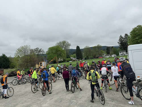
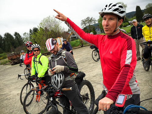
The ride is the work of Camas, Washington resident Todd Shank. Todd is the owner of Salmon Creek Cycle Co, a by-appointment-only mobile bike repair business he started doing full-time after leaving the corporate world last year. Like many similar rides in this era of unsanctioned group rides, Todd scouted the route, published a website and promoted it on social media. He provided no formal support whatsoever.
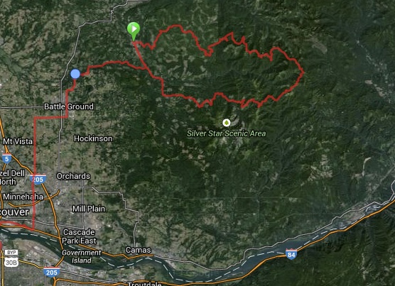
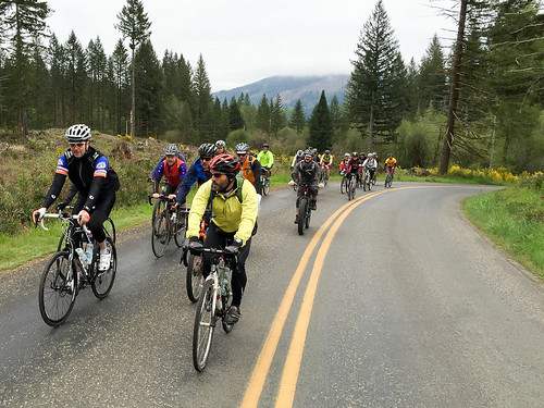
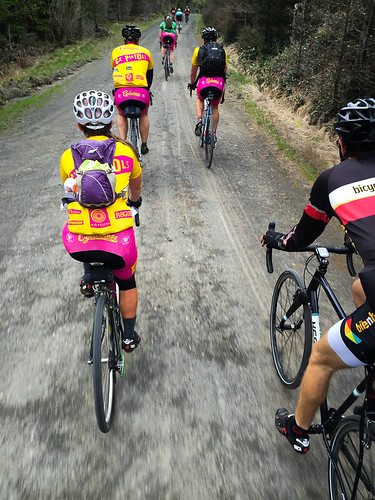
On Saturday when he showed up at the start — a gravel parking lot in the tiny town of Yacolt (population 1,600) — he was pleased to see nearly 50 people ready to ride. They came on a wide variety of bikes. There was everything from traditional road bikes with 28-32mm tires, full-suspension mountain bikes, and even a fat-bike or two.
I had no idea what to expect; but I was eager to ride new roads and see new views. There’s something special about pedaling to places for the first time. (I’m also planning a three-day, two-night bikepacking trip from Portland to Trout Lake later this year and figured this ride would be perfect reconnaissance.)
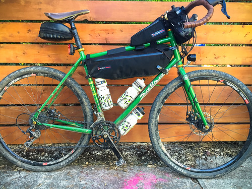
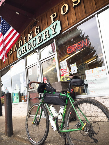
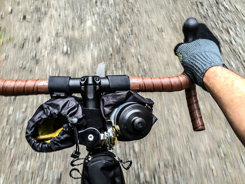
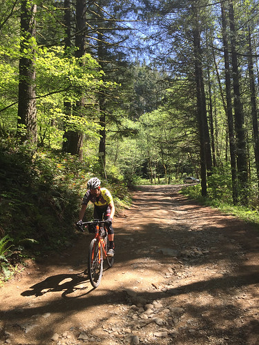
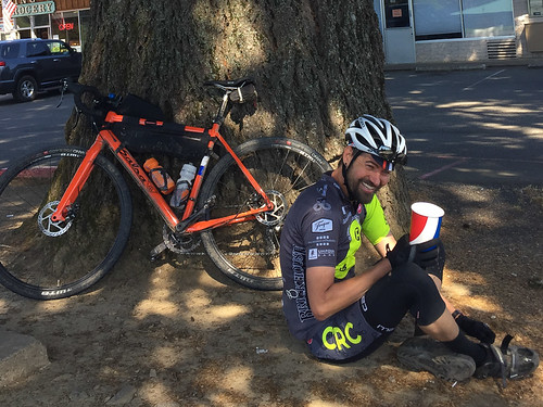
In case the roads got rough, I brought my new Salsa Vaya built up with custom parts from the expert crew at 21st Avenue Bicycles. I was rolling with tubeless 40mm tires (the knobby “Nano” from WTB) and some new frame bags from Revelate. Before we rolled out, I got familiar with the Yacolt Trading Post. I picked up some snacks for later and grabbed a very detailed map of the area that was recommended to me by the clerk.
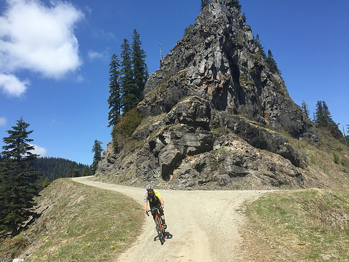
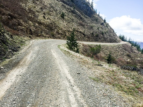
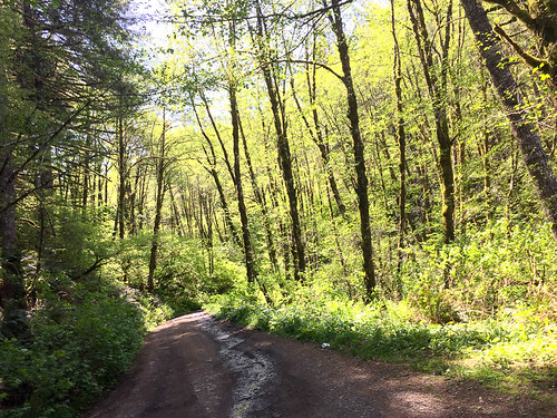
Back in the parking lot, Todd shared a few notes of caution about the route, then we were off. We rode on pavement for just a few miles before the dirt and rocks — and the fun — began.

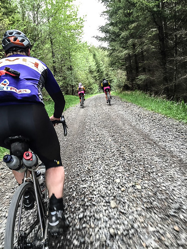
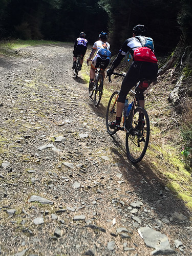
We climbed a gentle grade for the first 10 miles or so, following Big Tree Creek up to about 2,000 feet elevation. Then at about mile 14 the road turned skyward for a tough three miles of climbing as we crossed into the Gifford Pinchot National Forest. The next 15-17 miles were some of the best of the entire day. We rode along a spine high above the Lewis and Washougal rivers that afforded dramatic views of Mt. Adams to the east and Mt. Hood to the south. At our highest point we crested Lookout Mountain at just over 4,000 feet.

Advertisement

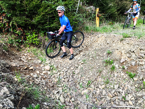

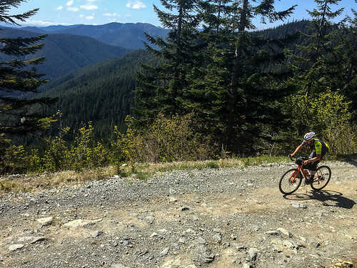
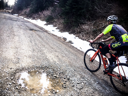
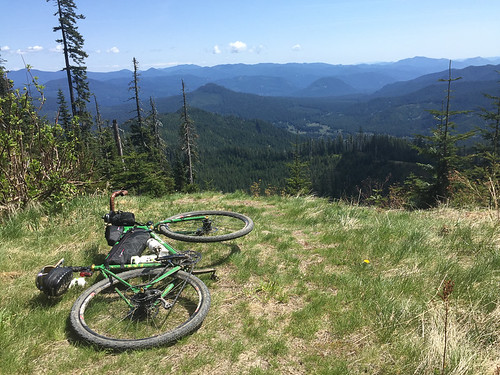
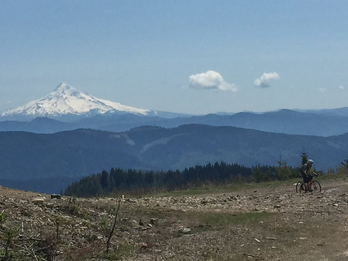
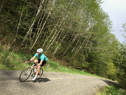
Most of the day’s major climbing (a total of about 6,800 feet) was over by mile 37 when we reached a large clearing with unobstructed views of Mt. Hood. It was a good place to catch our breath before an absolutely unforgettable 6.5 mile descent on National Forest Road #41. It averaged a 10 percent grade and there were incessant rocks, ruts, and loose gravel sections. I was loving it, but almost had to stop before it was through to rest up a bit. In some ways that downhill was almost harder on my body than the big climbs!
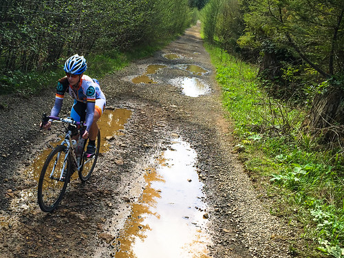
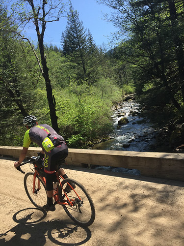
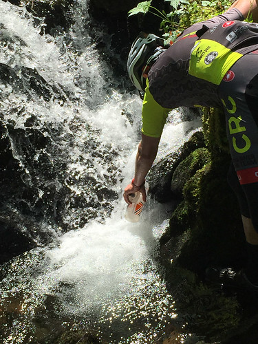
At the bottom of the descent we crossed a bridge over the crystal clear rushing waters of Cooper Creek and began the final climb and descent back to civilization — but not before my riding mate Chris Brannen filled his bottles straight from a big creek next to the road. I had plenty of water left and was a bit sheepish to drink unfiltered. Chris noticed the look on my face and said, “What? This isn’t Mexico. I don’t see any cattle around either.” (He did not get sick, although he made a wrong turn after we separated later down the road, so I’m glad he topped off his bottles.)
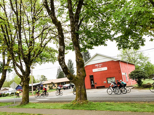
A few more relatively uneventful miles and we eventually connected to the smooth pavement of NE Dole Valley Road, which delivered us back to Yacolt.
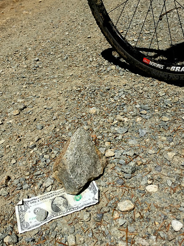
If you’re looking for some adventure and don’t mind crossing the border into Washington, this is a fantastic loop I highly recommend. Just make sure you don’t skimp on tire size. I heard there were lots of flats out there.
And if you are feeling frisky, I found a nice route from Yacolt back to Portland that adds about 40 miles to the ride. Check out the route at RideWithGPS.com.
— Read more from this series here.