

(Photos by J. Maus/BikePortland)
Marine Drive is a valuable gem in our regional biking network. Its combination of off-street paths and bike lanes make it an excellent way to connect to Troutdale, the Sandy River, and the gorgeous roads in around the Columbia River Gorge.
Unfortunately, the route most people take from Marine Drive through Troutdale to the Historic Columbia River Highway is a real pain. For years I’ve ridden through that section by going under I-84, then riding a sketchy bike lane adjacent to a huge truck stop and the busy driveways of shops and fast food joints. Now, thanks to a mix of old paths and trails (forgotten sections of the 40-Mile Loop), combined with a recently completed Oregon Department of Transportation project, there’s a much better way to make this connection.

And if you’re open to a bit of dirt and adventure, you can extend the fun riding possibilities even further. I recently did some exploring and found a great route between the Historic Highway and Marine Drive that allowed me to completely avoid Troutdale and the I-84 freeway on-ramps and enjoy some quiet and peaceful paths and trails.
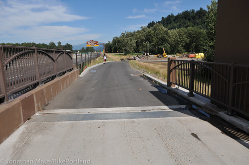
The big catalyst in this connection is ODOT’s recently completed update to the I-84 bridge over the Sandy River. As we reported last summer, that project added a new, physically protected biking and walking path to the bridge. What I recently discovered is that there are now a host of new paths leading up to the bridge.
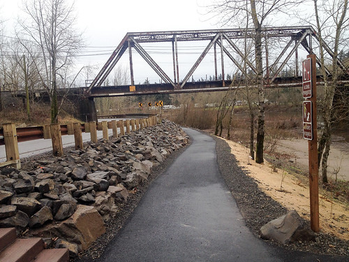
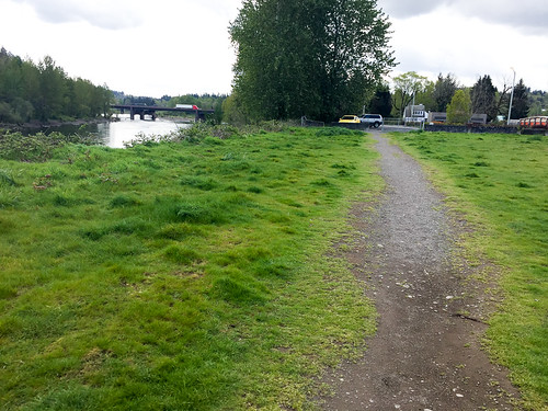
Let’s begin on the Historic Highway, east of the Sandy River just outside Troutdale. Instead of taking the bridge (west) back to the main street of Troutdale, continue north on the highway toward Lewis & Clark State Park. Eventually you’ll see a new path along the river. Take that path (being cautious and considerate of walkers) and it will lead you right to I-84. If you stay to the left (west) you’ll get up onto the new bridge path.
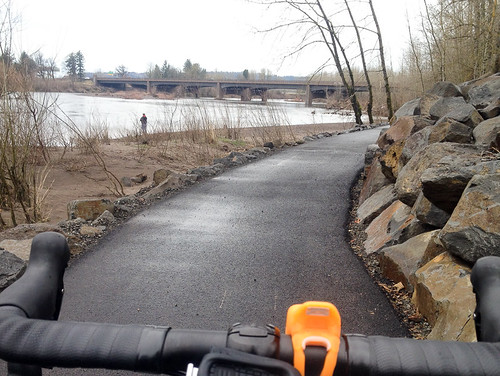
Once over the river, stay on the path as it loops back toward the river and then heads north under I-84. This new path connects directly to NE Harlow Road on the north side of I-84. From Harlow you can choose to stay on the pavement and connect to NE Graham, or drop right into a dirt trail. This is where things get fun.

Advertisement
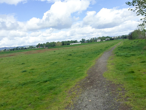
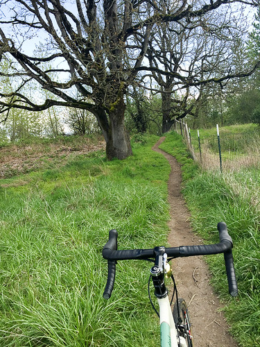
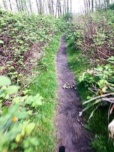
Turns out there’s a 1.5 mile section of the 40-Mile Loop in this area that I’d never even heard of before. It goes between Graham Rd and Sundial Rd. The 40-Mile Loop paved path is fine and good, but there are also a bunch of dirt trails below the path. These trails (on land owned partially owned by the Port of Portland and set aside as wildlife area) access the Sandy River and a bunch of other undeveloped land stretching out to the Sandy River Delta where it empties out into the Columbia River.
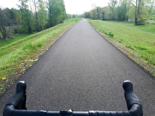
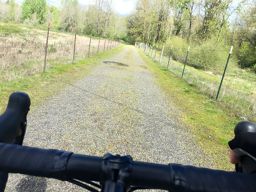

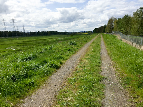
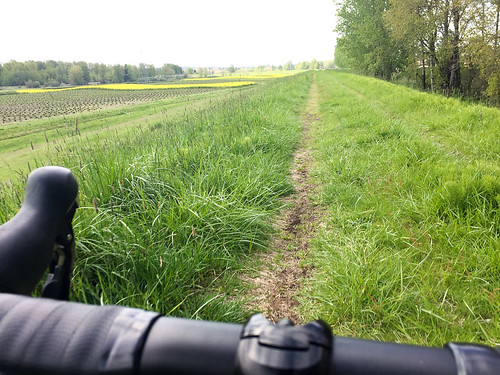
After you’ve had some fun in the dirt, you’ll head west and eventually need to get on the paved path. Take the path all the way to Sundial Road. At that point, you could take Sundial back south to Marine Drive. If you did that, you’d be west of airport and would have avoided all annoying traffic and freeway on-ramps around Troutdale. But, if you are up for a bit more adventure, when you come off the paved path at Sundial, continue west. The road will veer into some industrial operations, but you’ll notice a dirt road continues at the edge of the treeline. Stay on this road (it’s very overgrown with grass) for about a mile and it will take you to NE 223rd. At this point, you’ll head south and back onto Marine Drive just east of Blue Lake Regional Park.
I was very excited to make this connection and will use it every time from now on. If it’s new to you, I hope you enjoy it!
— Check out my route on RideWithGPS for more details.