(Photos J. Maus/BikePortland)
There’s much more to riding in Columbia County than the marquee Banks-Vernonia Trail and Highway 30.
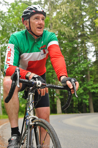
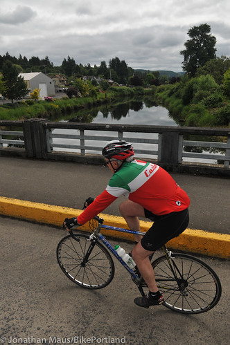
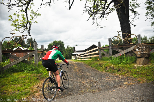
During my weekend stay at the Coastal Mountain Sporth Haus, I was lucky to have a knowledgeable local guide along for my journeys. Glen Crinklaw is co-proprietor at the Sport Haus and he also works as head of the parks department for Columbia County. On Saturday he shared his favorite ride: The Beaver Falls Loop.

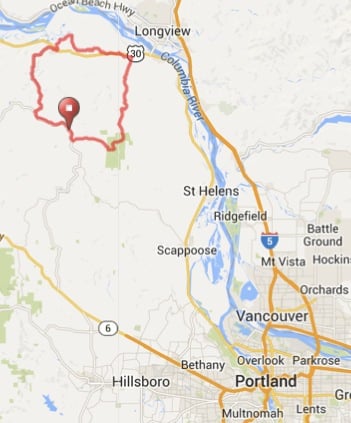
At just over 50 miles from the front gates of the Sport Haus (66845 Nehalem Hwy in Vernonia), this loop is like an undiscovered treasure that I’m sure will some day be in every Pacific Northwest bike lovers’ vocabulary. It’s got solid climbs (just over 3,000 feet total elevation gain), unforgettable descents, views, and tons of miles of quiet, backcountry roads.
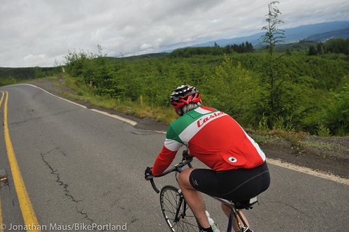
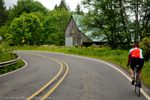
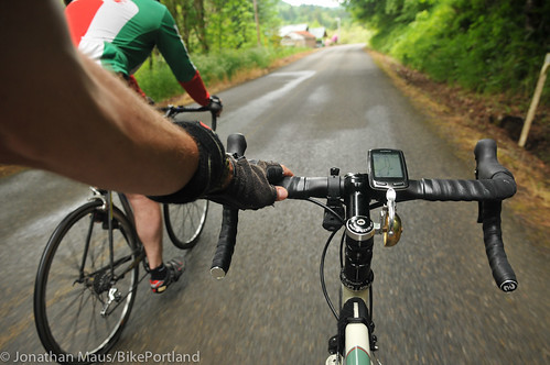
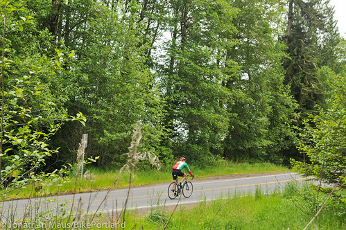
The ride begins by heading northwest on Nehalem Hwy N (47). Even though the highway is the main road in the area, it gets very low traffic most weekends. Glen and I were able to ride relaxed and take in classic rural farm vistas like this old barn…
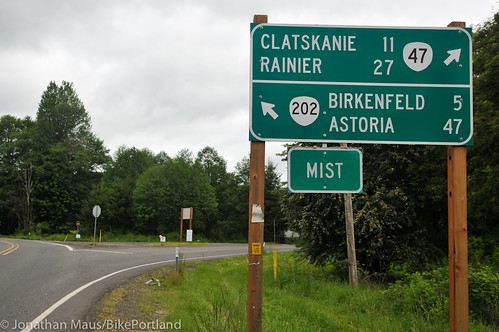
About six miles in, where Highway 202 and 47 split, we headed north and began our ascent of Mt. Clatskanie. This junction is in the small town of Mist. Just up the road we passed by what used to be oldest, continually operating business in Oregon: the Mist General Store. Unfortunately a fire in the kitchen torched the place in 2001 and it was later demolished. Just an old “gasoline” sign is all that remains today. Glen said the U.S. Postal Service stopped using a unique zip code for Mist after that store was gone. Glen would love to see new life spring up in Mist, and hopefully someday get its zip code back.
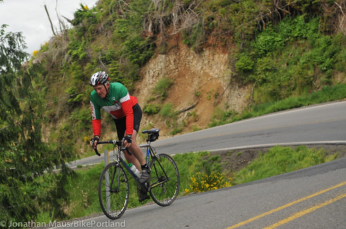
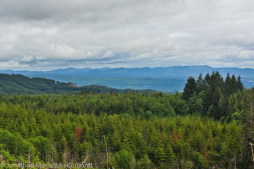
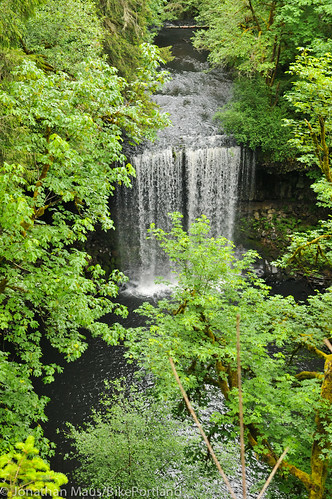
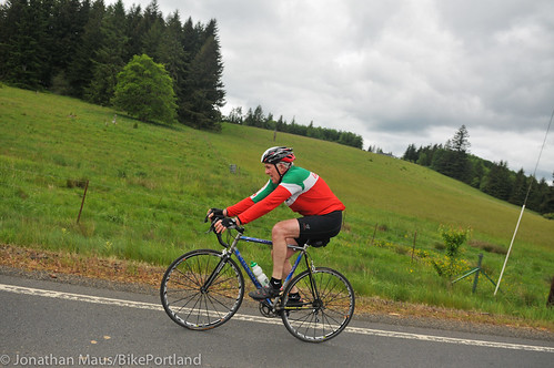
The climb is about three miles and you gain about 800 feet in elevation. The view from the top, which opens up a panorama toward the northeast, is fantastic
Advertisement

you can chat and take a break.
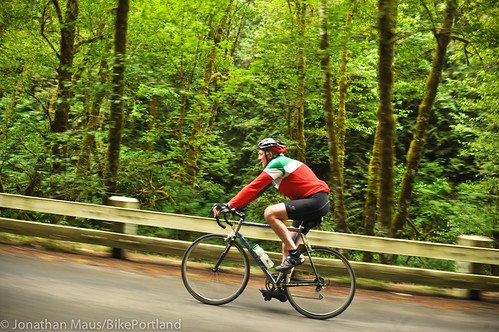
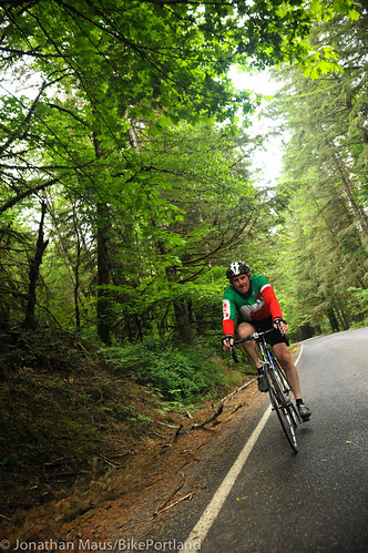
The descent from the top is really fun. A windy road with turns that let you keep off the brakes and enjoy the speed. I tried to get more photos but I couldn’t catch Glen and grab my camera at the same time (without risking too much), so I only managed this one right up near the top…
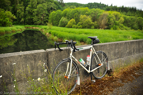
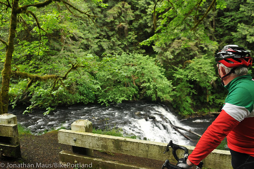
The bottom of the climb emerges at Highway 30 in Clatskanie. We then continued north through 6th Street (downtown), across the Clatskanie River (see below), hung a left on 5th Street and then connected to Beaver Falls Road…
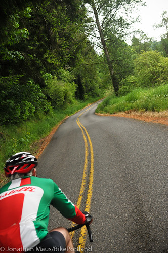
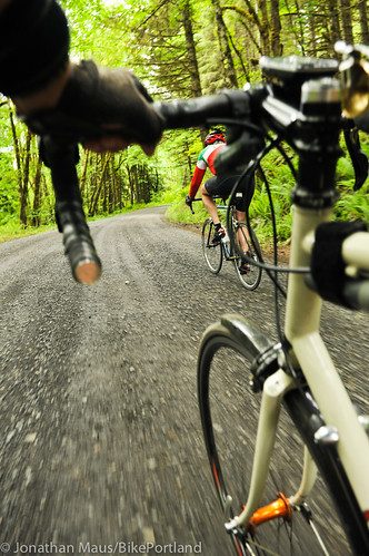
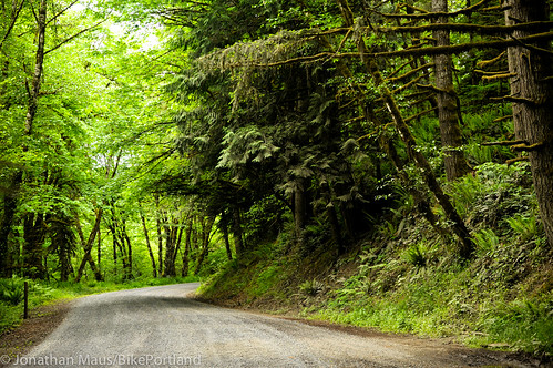
I had a feeling Beaver Falls Road would be nice. There was something about how Glen and Sandy talked about it that made me eager to see it for myself. And I wasn’t disappointed! It reminded me of Aufderheide Drive north of West Fir (near Oakridge). There’s so little traffic it’s almost a forgotten road. And then there’s the tree canopy and the rushing creek just off your shoulder…
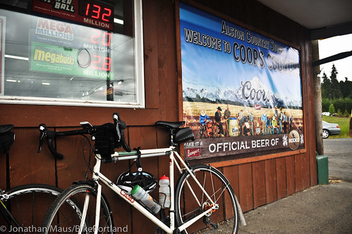
We got about nine miles of bliss on Beaver Falls before re-joining Highway 30. We rode the shoulder for about a mile before taking a side trip over to a little market off Alston-Meyger Road. The Alston Country Store (smack dab in “Coors Country” according to a banner out front) is a favorite stop for Glen because it’s not visible from the highway and it’s mostly a place where locals hang out. While he said he’s gotten some curious stares in the past, this time the employee was as nice and welcoming as can be. She asked us about our ride, commented on the nice weather we were enjoying, and then said something we won’t soon forget: “Everyone deserves a nice bike ride.” It was such a nice turn of a phrase from an unexpected source that it became a mantra for the rest of the weekend.
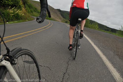
Then it was time to head south so we caught Old Highway 30 to Apiary Road, which took us south 20 miles back toward Vernonia. Apiary is another great piece of the route. During the week it’s a main drag for logging trucks and other commerce; but on weekends it’s a pleasant place to spin…
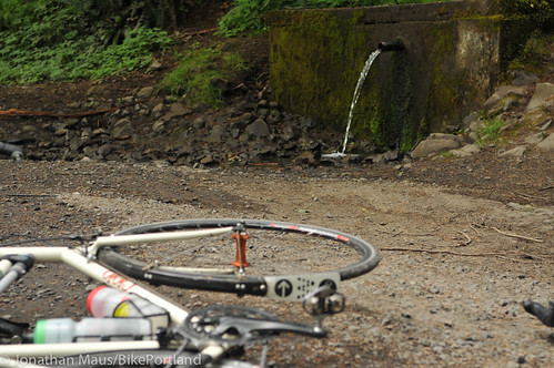
About 12 miles south of Highway 30, Glen showed me a secret water source off a gravel road. Just before you come into Camp Wilkerson, look for Schaffer Road and hang a left. A few tenths of a mile you see a pipe spurting water on your right. That’s pure spring water so go ahead and fill up your bottles and take a drink.
The summit of Apiary is Camp Wilkerson (a County park). After that it’s all downhill on Apiary Road which comes back out on Highway 47 just a mile or two from the front gates of the Sport Haus.
This is such a great loop! And it opens up a whole new area of riding (at least for me).
Check out the route details via RideWithGPS.com. For more about the Coastal Mountain Sport Haus (which makes a perfect home base for this and other great riding), check out the story I posted yesterday.