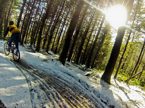
Last weekend I had the good fortune to spend a few nights in a friends’ cabin in Rhododendron, a sweet little community about 20 miles toward Mt. Hood from the town of Sandy. I brought my mountain bike along with hopes of riding at Sandy Ridge. I’m not very familiar with biking around Mt. Hood at all, but I managed to discover a nice route from the cabin to the trails and figured it’s worth sharing. The best part is that I was able to completely avoid riding on Highway 26.
This out-and-back begins in Rhododendron. You’ll know you’ve arrived at the starting point when you come to Mt. Hood Foods and the Dairy Queen which are just up from the electronic signboard and the Still Creek Road exit on Highway 26 (map). There are several places to park among the dozen or so eateries and motels. You’ll want to find East Arlie Mitchell Road right at the northwest exit from the Mt. Hood Foods parking lot.
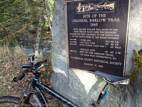
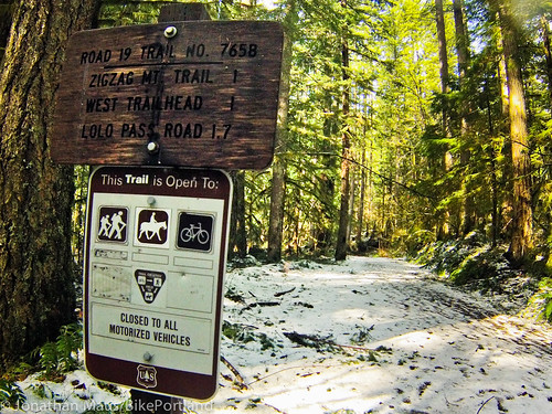
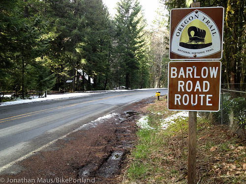
Ride on East Arlie Mitchell for just a few hundred meters then go left on Forest Road 19/Zigzag River Road where Arlie Mitchell turns into East Henry Creek Road. One of the cool features of this ride is that you’ll be traveling along the historic Barlow Road Trail route. You’ll see signs for the route in several spots beginning at Road 19…
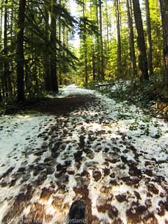
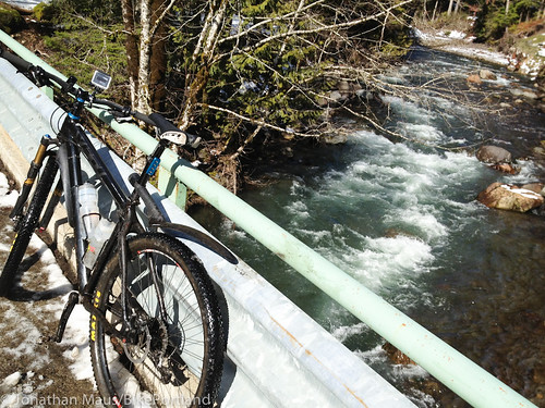
A mile or so northwest (toward Portland) on Road 19 and it will end into a trail. Cars are no longer allowed, but biking is! This is a fun dirt trail that lasts for another mile or so and takes you through beautiful forests and creeks…
Once the trail ends and turns back into a road, you’ll want to take a left (west) onto East Mountain Drive. This road takes you directly to Lolo Pass Road. Go right on Lolo Pass for 0.8 miles and take a left on East Barlow Trail Road (signs to Brightwood)…
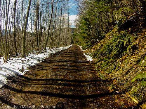
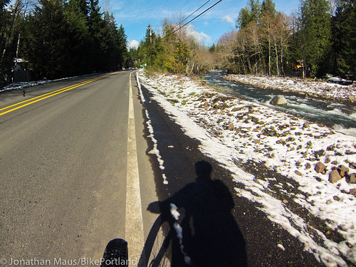
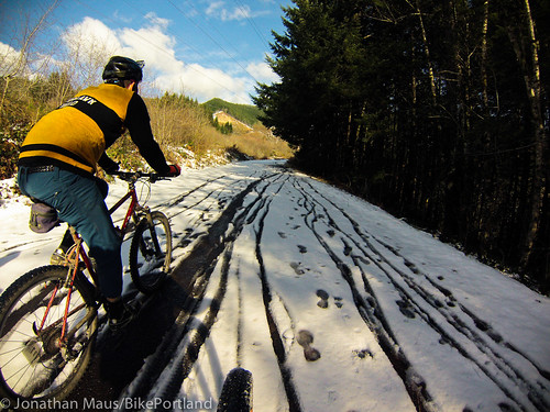
Stay on Barlow Trail Road for about six miles until you reach the Sandy Ridge trailhead sign. From here, you can do any loop or mix of trails in Sandy Ridge that you’d like. Given all the snow on the road, we just road up Homestead Road for a mile or so to the “Hide and Seek Cut-off” trail and came back down.
And for a bonus, I used my new GoPro camera for the first time on the way down. Check out the footage:

For the way back, I just did the route in reverse. I think the total ride was about 22 miles or so. I mapped the route via Ride With GPS if you’d like the specifics. (Please note, since part of the route went on a trail, I wasn’t able to mark the part between Rhododendron and Lolo Pass Road).
I hope others get a chance to enjoy this route. I’ve got a lot more to learn and discover about riding on Mt. Hood and this ride definitely whet my appetite to get up there more often.


