
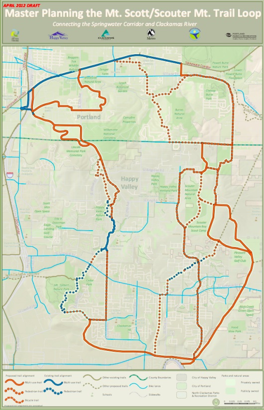
tied together with the newly proposed
Mt. Scott/Scouter Mt. Trail Loop.
Metro is prepping for the public unveiling of an exciting new network of paths that span from just south of the Powell Butte Nature Park all the way down to the Clackamas River. The Mt. Scott/Scouter Mt. Trail Loop is one of twenty “Connecting Green trail packages“ proposed by Metro’s Blue Ribbon Committee for Trails.
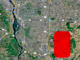
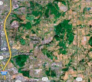
According to a document and maps released by Metro today, the plans call for a combination of paved multi-use paths as well as hiking and biking trails. In all, the network would encompass about 17 miles of paths winding around the city of Happy Valley and between a corridor bordered by the Springwater path, the I-205 multi-use path , SE 172nd Avenue and SE Sunnyside Road.
According to Metro, “the trail would serve transportation, commuter and recreational needs. The trail could also serve as a part of the area’s “Safe Routes to Schools” programs.”
Here’s a look at the proposed network (PDF here):
At this point, Metro and their regional partners are only in the planning stages. No funding has yet been identified to actually build the paths and trails or to purchase the easements and right-of-way necessary to make it happen. The draft master plan is slated to be finished by March of next year.
The first public open house to view the draft plans is set for June 7th from 5:30 to 8:00 pm at the Happy Valley City Hall (160000 SE Misty Drive). Stay tuned for more developments.