(Photos © J. Maus unless noted otherwise)
The Willamette River through downtown Portland is just about one foot from what the National Weather Service considers “flood stage.” While actual flooding isn’t in the forecast (at least not at this point), the high water has already done damage to many people’s daily bicycle travel.
We brought you photos of the high water last week, and then news earlier today that the floating portion of the Eastbank Esplanade yesterday had been closed.
In addition to that closure, several portions of the Willamette Greenway Trail on the west side of the river are fully submerged in water.
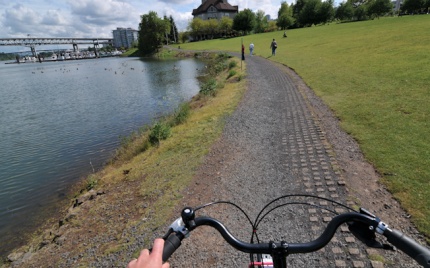
Readers have reported that at least two sections of the Willamette Greenway Trail between the Ross Island and Sellwood Bridges are flooded. One reader says a large section of the trail near SW Pendleton Street is flooded, although, “Luckily the puddle isn’t too deep to ride through.” Another reader tells us there are two other sections that are “completely impassable” in that same general area.
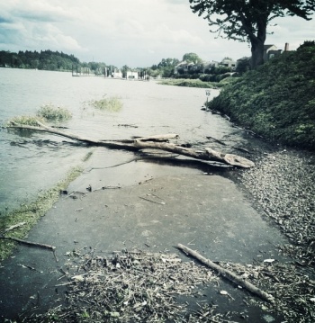
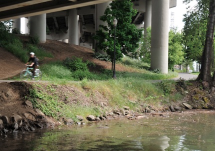
Here’s a photo of the Greenway Trail near Pendleton/SW Riverpoint Lane sent in by Paul Souders…
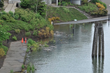
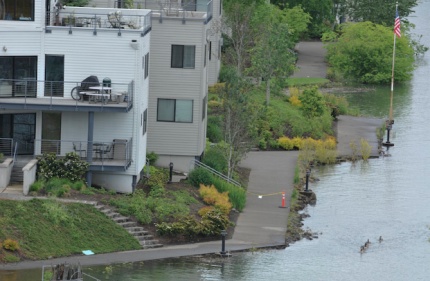
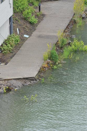
Also on the west side, a portion of the Willamette Greenway Trail in front of the McCormick Pier Condominiums (just north of Steel Bridge) is under water and the river is mere inches away from claiming other portions…
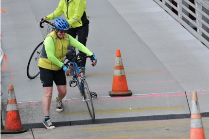
At about 4:00 yesterday afternoon, City of Portland Parks & Recreation crews officially closed and fenced off the floating portion of the Eastbank Esplanade. I was there just minutes before the gates went up and watched many people try to negotiate the steep, nearly 90-degree curb up to the floating ramps…

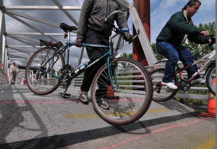
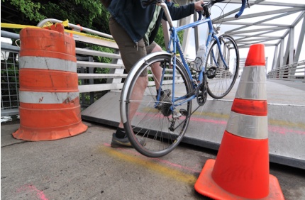

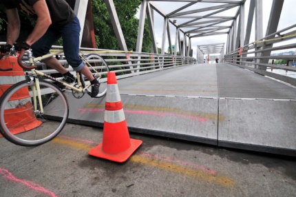
The big hurdle up onto the ramps was hard enough (as the photos can attest), but it was really crazy when there were waves in the river (caused by passing boats). I watched the ramps move up and down with the waves, leaving a 4-6 inch gap between the bottom of the ramp and the paved portion of the trail. It was pretty unnerving to say the least.
Watch the video below for more (it shows the gap/wave motion as well as some footage of how various people negotiated the curb, including a woman riding a tadpole trike who manages to hop up onto the ramps):

And finally tonight, just for some fun, here are a few more shots of the historic high waters on the Willamette.
Check out how close the water is to the path in Tom McCall park…
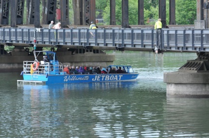
I spotted this jetboat which came just inches from hitting the Steel Bridge…
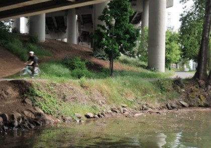
The photo below was taken from the Hawthorne Bridge looking north to the Esplanade…
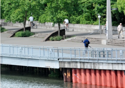
And this one was taken under the Hawthorne Bridge looking southeast at the Esplanade toward OMSI…
If the river continues to rise, we’ll keep you posted on how the Esplanade and other paths are impacted.
Portland Parks & Recreation says the Espanade closure will last at least week “or longer” depending on conditions. Sources say the closure will remain until the water level drops, which could be another 3-4 weeks.
Let us know about Willamette River conditions as you ride around tomorrow. Drop us a line via email, call our 24HR TipLine at (503) 706-8804 or connect with us via Twitter. We’ll try and keep a running list of closures.
— For an accurate and updated look at Willamette River levels, check out this page on the National Weather Service site.