
limestone hills of the Burnt River Canyon.
(Photos © J. Maus/BikePortland)
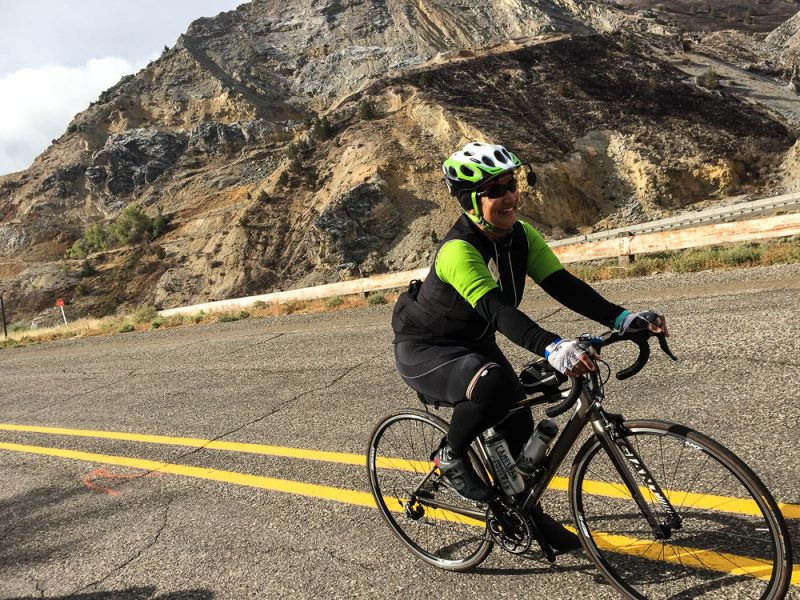
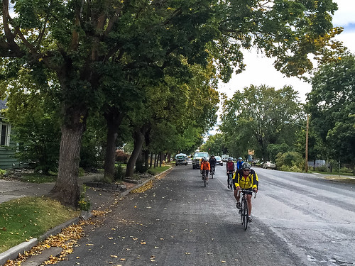
I hope no one complained on today’s ride. Sure, our 50-mile route from Farewell Bend State Park to Baker City had its share of climbing (about 3,000 feet) and a stiff headwind; but it was nothing like what pioneers faced.
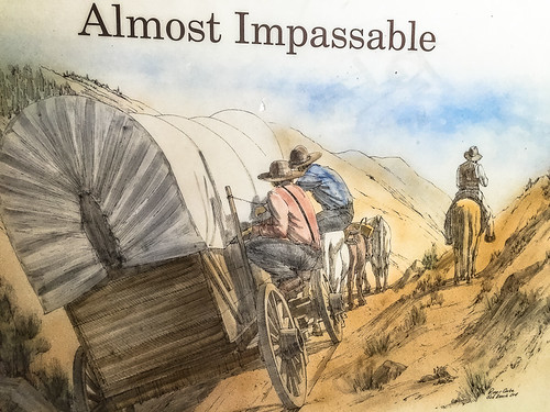
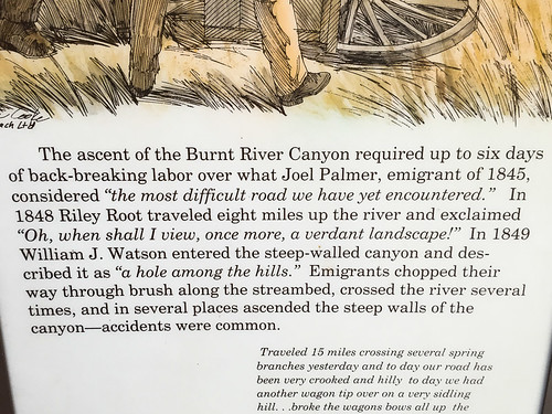
In 1852 during the peak of the great pioneer migration, about 10,000 would-be Oregonians made a similar trek up the Burnt River Canyon. It took them six days. Six arduous days over narrow dirt roads cut along sloping hillsides. At a rest stop on today’s ride we learned a bit more about this infamous passage.
According to diaries kept by pioneers, the route from Farewell Bend to Baker City was one of the toughest sections of their entire journey. “Almost impassable” and “The most difficult road we have yet encountered,” were just two of the ways they described it.
Today there’s a smooth highway and frontage roads that make the passage a bit easier…
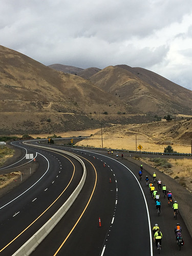
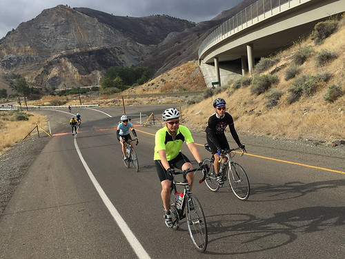

As we rode up the canyon — often on the shoulder of Interstate 84 — I couldn’t help but think what a great project it would be to restore this historic route. Pioneer scholars know where the wagons once rolled and I’m sure many of the roads and trails still exist in some form. The end of the route could be the Oregon Trail Interpretive Center, one of the best museums on the subject anywhere. What better way to honor our past and give Oregonians a perfect way to experience it? (I just so happened to be riding along Oregon State Parks Bicycle Recreation Coordinator Alex Phillips this morning and shared the idea with her. Here’s to hoping it becomes reality someday!).
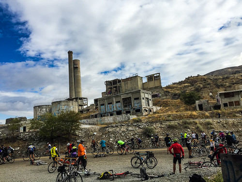
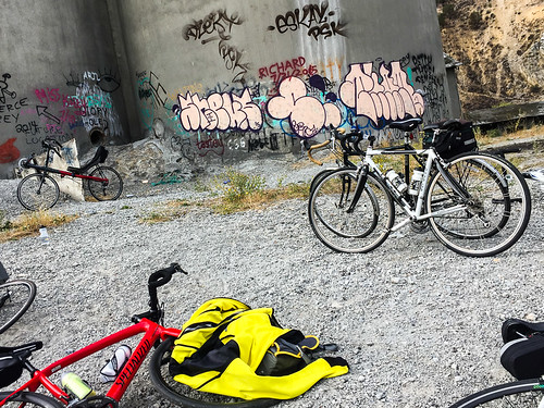
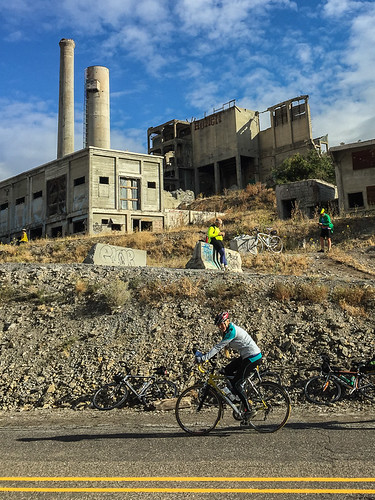
We also experienced a more modern part of this area’s history today at the old ruins of the Lime cement plant.
With massive deposits of limestone in surrounding hills, the plant was built in 1916 to make concrete for the construction of the Owyhee Dam (among other things). At one time, the Lime plant produced 1.2 million barrels of concrete per year. It was closed for good in 1980 and still sits eerily on the mountainside; a post-apocolyptic assembly of structures now covered in graffiti.
Advertisement

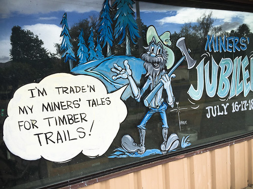
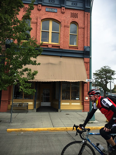
Tonight we settle back into Baker City, the same place we started five days ago. Right now all the bars and restaurants on Main Street are full of Cycle Oregonians doing what they do best — pump money into local economies.
Thanks for following along with my Cycle Oregon coverage. Tomorrow we head north, out onto the eastern side of the Grande Tour Scenic Bikeway. We’ll cruise along Medical Springs Highway and into Catherine Creek State Park on the edge of the Wallowa Whitman National Forest en route to our final night in La Grande.