

(Photos © J. Maus/BikePortland)
Last week I spent five days taking a closer look at bicycling and bike tourism in Wallowa, Baker, and Union Counties as part of a partnership with Cycle Oregon. Starting in the small town of Halfway on Monday, I rode northeast to circumnavigate the Wallowa Mountains and Eagle Cap Wilderness. I camped, rode rocky dirt roads, did some bushwhacking, sampled singletrack on a mountain bike, rolled on an official State Scenic Bikeway, and met the people working to make this region a biking destination. All this week I’ll share stories and photos from the road.
—
When I head out on a bike trip I like to keep my options open. I have general sense of what I want and need to accomplish (on the business end of things), but I always leave time for exploration. And it’s often in those times when the best stuff happens.
Such was the case with my trip in Eastern Oregon last week when I followed my curiosity into the Wallowa Valley and Zumwalt Prairie.
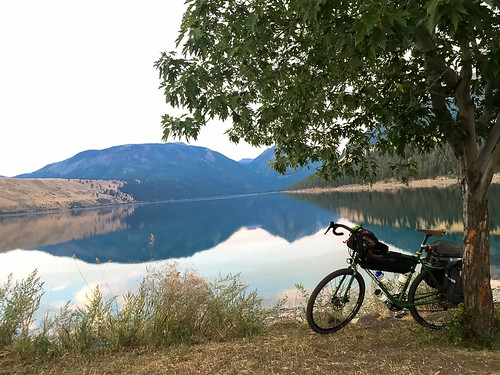
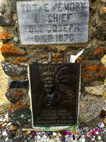
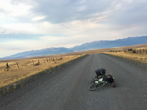
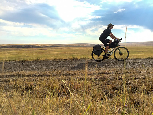
After I met some local bike tourism entrepreneurs and checked into my hotel (the cozy Indian Lodge on Main Street), I found myself in Joseph with an evening to spare before heading out the next morning. So, with my new Forest Service map in hand, I looked for a way to get up to Wallowa Lake without having to use the main highway. The main road isn’t terrible, but it can get crowded with big RVs and there’s no real shoulder to speak of. And besides, backroads are where all the action is.
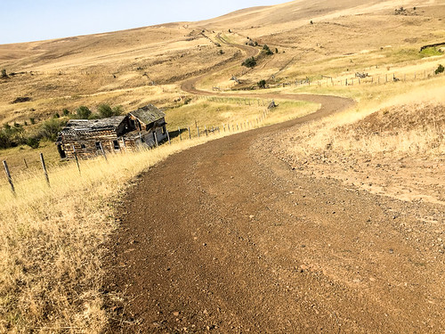
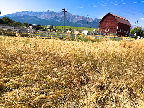
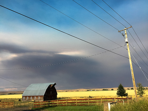
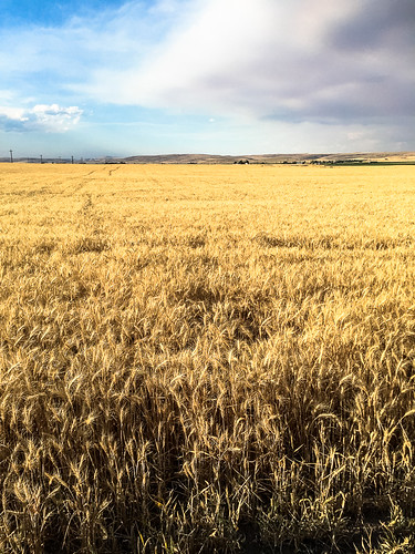
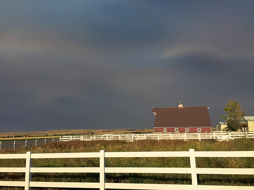
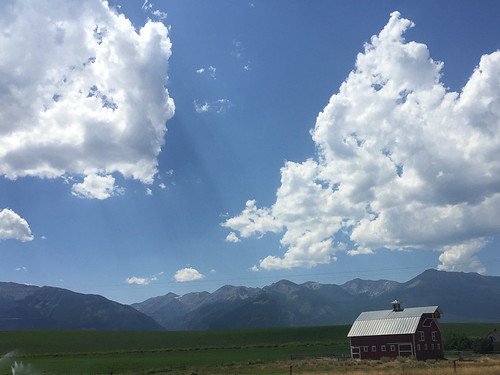
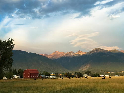
After finding a route that would take me up to the south end of the lake on gravel roads, I set off into the Wallowa Valley east of Joseph. As the roads turned to dirt and the sun got closer to the horizon, the true beauty of this area unfurled in front of me. My route to the lake didn’t pan out (a locked gate across one of the roads was a bummer); but I was happy to spend more time pedaling the valley.
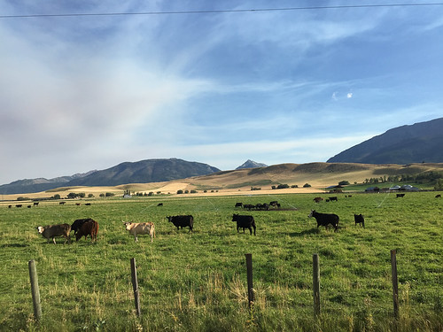
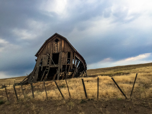
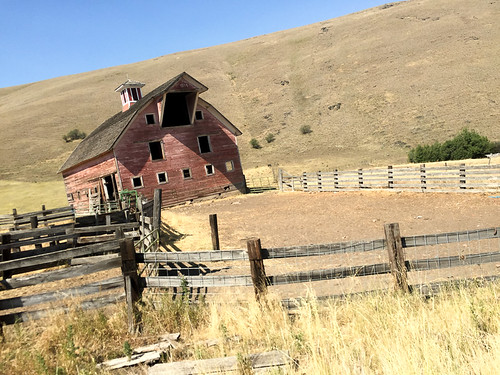
Old barns, family farms, grazing cattle, and fields of grain dotted the wide open space in views that probably haven’t changed for well over 100 years…
Advertisement

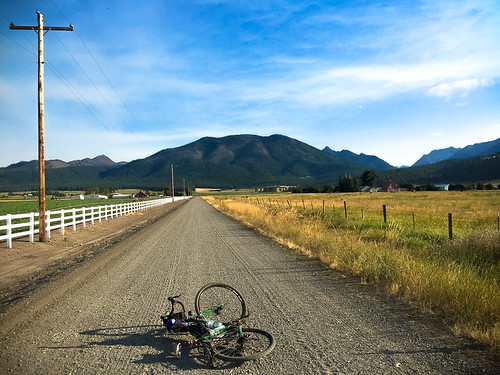
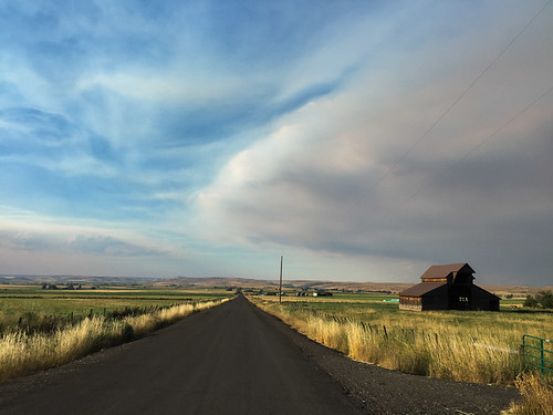
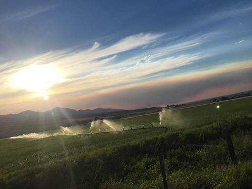

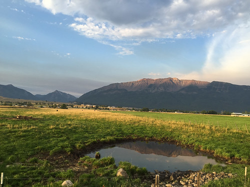
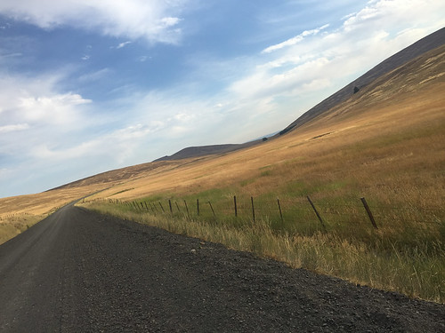
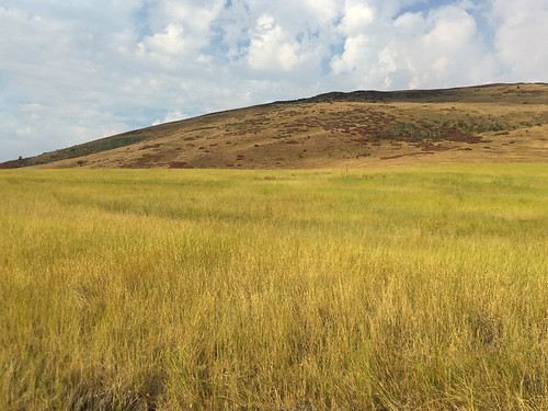
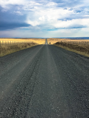
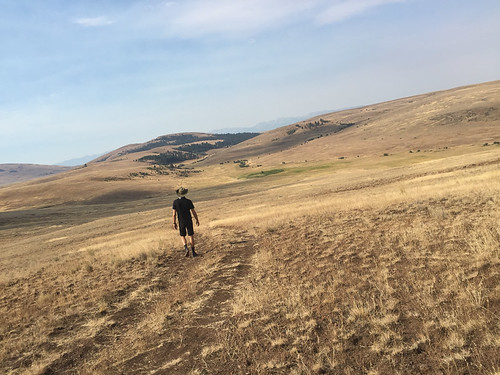
I got up early the next morning to catch morning light on Wallowa Lake, the valley, and Zumwalt Prairie. I didn’t know much about the Zumwalt before this trip, other than all the people I’ve heard gush about its beauty. I’ve since learned that the 51 square-miles of rolling hills and grasslands is pretty special.
The Zumwalt is the largest private nature sanctuary in Oregon (thanks to the Nature Conservancy), it’s an officially designated National Natural Landmark, and it boasts one of the largest pieces of in-tact native grassland in North America. Turns out that unlike the fertile valley next door, the prairie’s canyons, shallow and rocky soils and high elevation made it impossible to farm for crops. There are several ghost-like old ranch houses that dot its hillsides as a testament to broken dreams and hard times.
What does thrive in the Zumwalt are all types of birds, plants, and wildlife.
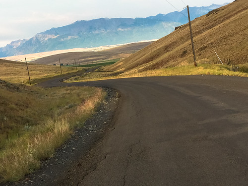
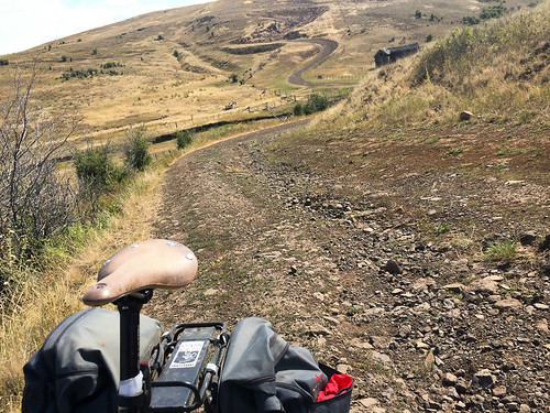
To get a sense of the place I road out Buckhorn-Zumwalt Road about 25 miles and then looped back on Crow Creek Road. I also took a side trip out to the Zumwalt Prairie Preserve, an outpost of signs and trailheads managed by the Nature Conservancy…
Next time you find yourself in Joseph. Grab a bike and do some exploring. Here’s a route to get you started.