Last week I spent five days taking a closer look at bicycling and bike tourism in Wallowa, Baker, and Union Counties as part of a partnership with Cycle Oregon. Starting in the small town of Halfway on Monday, I rode northeast to circumnavigate the Wallowa Mountains and Eagle Cap Wilderness. I camped, rode rocky dirt roads, did some bushwhacking, sampled singletrack on a mountain bike, rolled on an official State Scenic Bikeway, and met the people working to make this region a biking destination. All this week I’ll share stories and photos from the road.
—
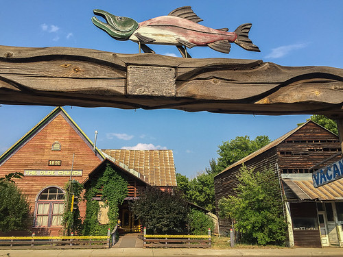
Like many small rural towns, the origin story of Halfway depends on who you ask. Boosters say its was “halfway to Heaven.” Others say the truth is much more prosaic: It was simply halfway between the existing towns of Cornucopia and Pine.
Regardless of history, Halfway is a fine place to start a biking adventure. You can use it as a jumping-off point to a multi-day ride (like I did), or as a basecamp for day rides and larger overnight loops.
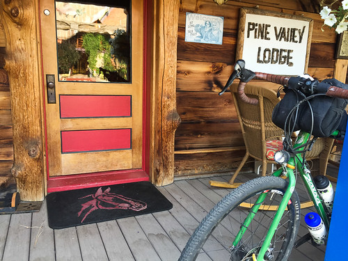
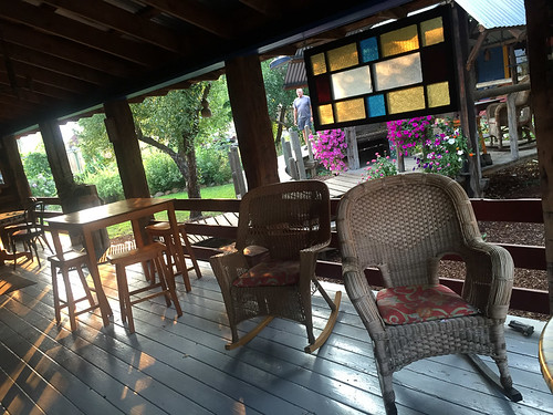
When I showed up on Sunday I checked into the Pine Valley Lodge, a charming and comfortable place right on Halfway’s main street. The only bad thing about the Lodge is that it’s so nice you won’t want to leave. I’m a huge fan of porches and theirs is world-class.
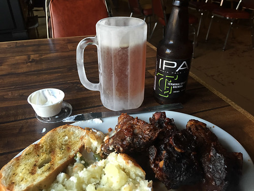
Halfway has a grocery store and a mercantile, so I was able to stock up on supplies. What Halfway doesn’t have is a great place to eat dinner. So, on the recommendation of a nice woman I met at the grocery store, I headed 17 miles east of town to the Hells Canyon Inn in Oxbow (a town named after a big bend in the Snake River). The Hells Canyon Inn is where the locals go. I got the special, ribs and a baked potato. Then I washed it down with an IPA from Terminal Gravity, brewed just over the hill in Enterprise.
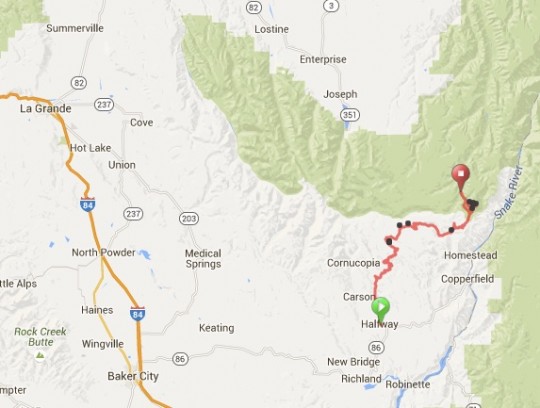
The next morning it was time to roll out (after a nice breakfast and conversation with other travelers at the lodge). Much of my loop for the next five days would follow the Hells Canyon Scenic Byway. But, as per usual, my goal was to stay off the actual byway as much as possible by using less frequently traveled backroads. Due to a construction project on National Forest Road 39 — the main road that goes up and over the Wallowa Mountains and into Joseph — I decided to avoid the area completely and take Road 66, or what’s known locally as Fish Lake Road.
Here’s a map of my route in context with the entire area:
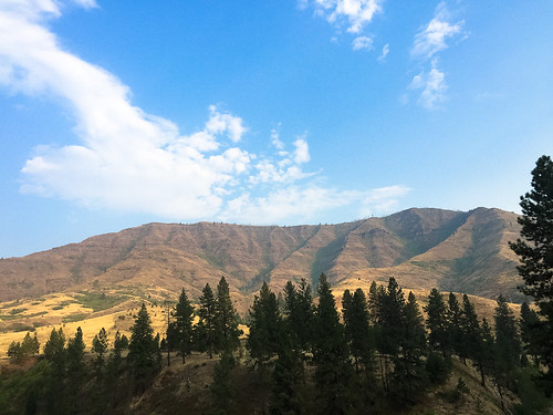
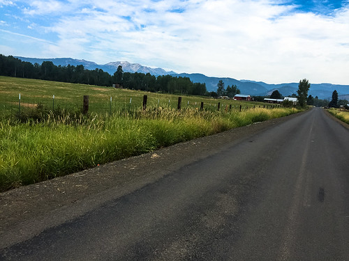
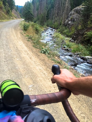
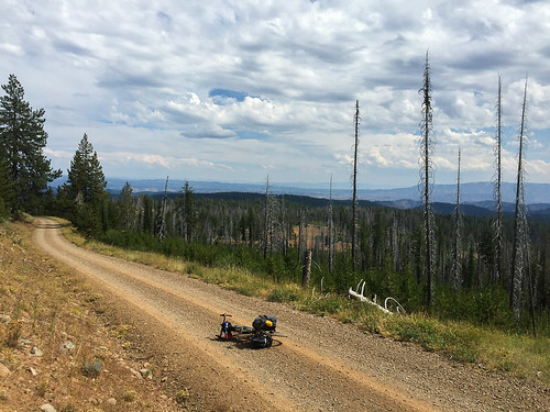
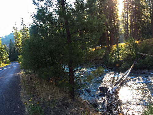
Fish Lake Road is gravel/dirt and it requires a lot more climbing than Road 39; but it’s also quieter and more scenic. After rolling through the valley north of Halfway, the road follows Clear Creek as it climbs into the forest.
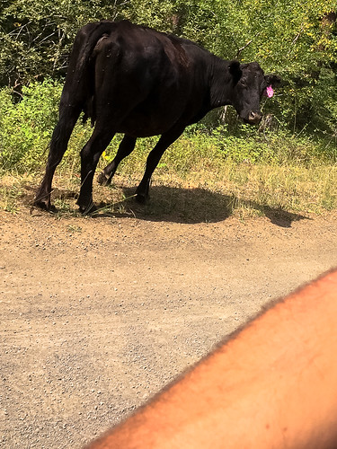
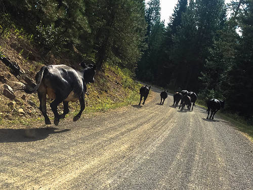
This is open range country, which means seeing small herds of cattle is common. I came across a few that weren’t quite sure how to deal with me (nor I with them). On two separate occasions I got the bovine stare-down as I approached a herd. Then I seemed to spook them and they galloped ahead of me for several minutes before turning off on a side road. It was sort of an uneasy truce and I was glad when it was over.
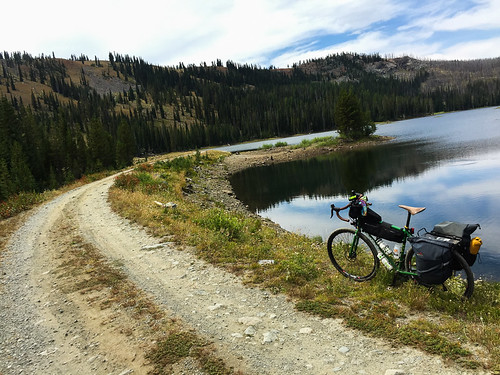
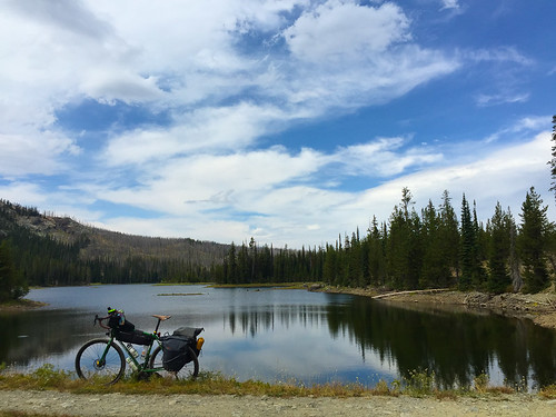
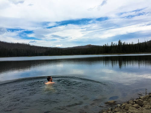
As I climbed higher into the mountains I eventually made it to Fish Lake. The 4,000 feet of climbing from Halfway quickly faded into a distant memory as I enjoyed lunch on the shore then slipped into the cool and refreshing water.
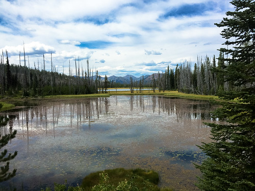
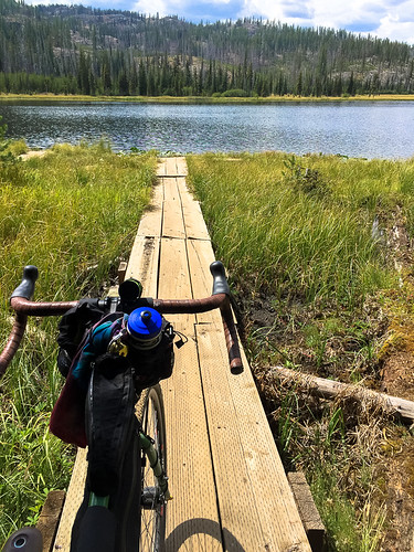
A few miles downhill from Fish Lake is Twin Lakes. They don’t look like much from the road, so I highly recommend taking the road into the campsites to get a closer look. I found a nifty wooden boardwalk/dock that took me right out to the edge of the western-most lake.
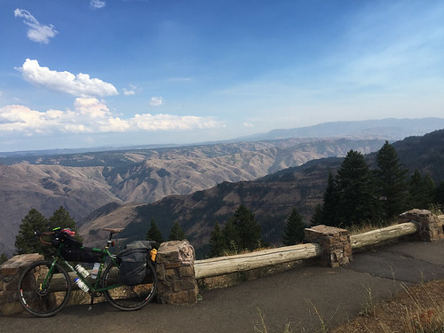
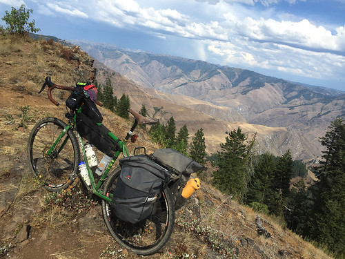
I continued past the lakes (the highest point of the day’s ride at just over 7,000 feet) and eventually came back to Road 39, the official Wallowa Mountain Loop road. After another few miles of climbing, I took the road out to the Hells Canyon Overlook to catch a glimpse at North America’s deepest gorge. At over 7,000 feet from the summit of He Devil to the Snake River, Hells Canyon is a sight to behold. The Overlook gives you a good view, but this canyon deserves a lot more exploration than I gave it on this trip. (Luckily I’ll be back next month for a closer look during Cycle Oregon.)
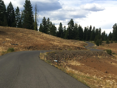
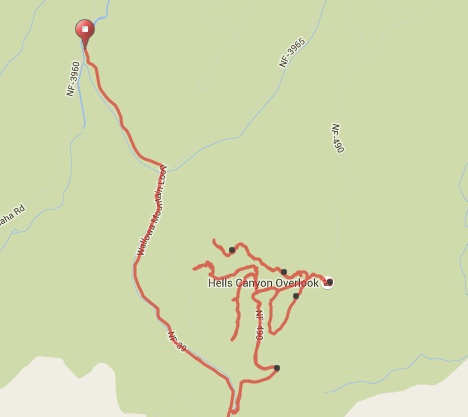
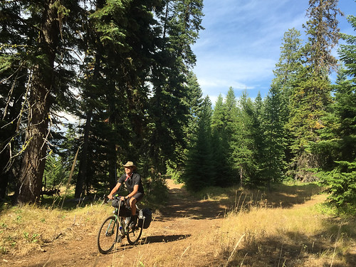
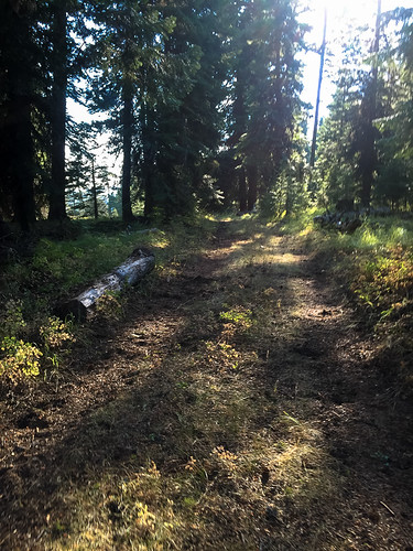
After seeing the view from the overlook, I didn’t want to go back down the main road. I had several hours before sunset and I knew my campsite wasn’t too far away, so I decided to try and find a dirt road that would connect back to Road 39. I tried every gravel road I saw from the Overlook; but each time it eventually turned into nothing. I was disappointed and eventually gave up.
Here’s a map showing my pathetic attempts at finding the route (the red dot is my campsite):
On the bright side, I had fun riding in the dirt and I saw a gorgeous herd of elk and a wild turkey during my explorations! Such are the rewards of getting off the main roads.
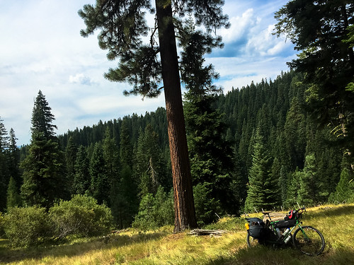
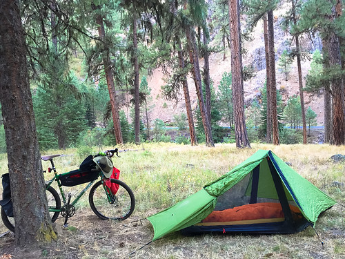
Just past the overlook a few miles up Road 39 lies Ollokot Campground, maintained by the U.S. Forest Service. I found a spot nestled among a pine grove along the Imnaha River and set up camp for the night.
It was a great first day of the trip. From here I pushed up and out of the Wallowa-Whitman National Forest and into Joseph where I met two retired bike loving entrepreneurs who are putting a new spin on rail-trails. Stay tuned for that story coming up next…

