
(Photo by J. Maus/BikePortland)
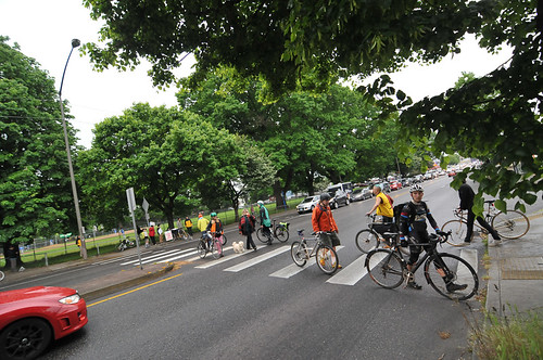
One of the stated goals of last night’s protest action on Southeast Powell Boulevard was to slow traffic down. And according to data live traffic data from Portland State University’s Intelligent Transportation Systems (ITS) lab, it worked.
David Backes, a graduate student at PSU’s Master of Urban and Regional Planning program contacted us with two charts pulled from the ITS portal tool. One of them showed travel times and the other showed travel speeds. The protest occurred during the yellow sections in the charts below:

Advertisement

This is a visual representation of what many people experienced last night. Activists are buzzing today at how effective and simple the protest was. Here’s what a volunteer with BikeLoudPDX wrote in an email to other volunteers this morning:
“Yesterday we learned how easy it is to shut down an ODOT facility, with just a few activists at a crosswalk. Maybe we should make a campaign of shutting down all the ODOT highways until jurisdiction is transferred to Portland.
I am sure if folks were to do crosswalk protests on a regular basis, it wouldn’t take long to make the safety situation something even suburban commuters worry about. Certainly it starts to make the budget for a signalized crosswalk look affordable.”
As we mentioned in our previous post, BikeLoudPDX is planning a “die-in” event tomorrow (5/13) at 4:00 pm at the regional headquarters office of the Oregon Department of Transportation (123 NW Flanders St).