
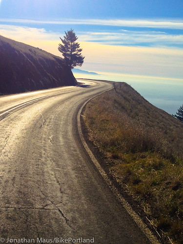
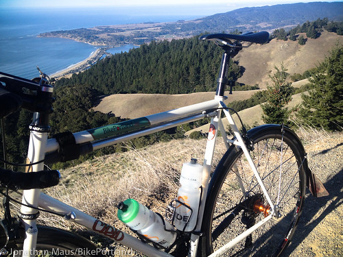
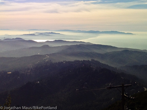
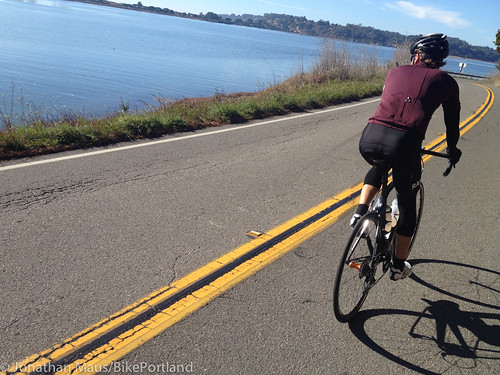
the Pacific Ocean in Mt. Tamalpais State Park.
(Photos by J. Maus/BikePortland)
During the winter break I spent time in the California Bay Area visiting family. While I was there I took full advantage of the sun, warm air, and the many miles of paved and dirt roads that surround my aunt’s house in Forest Knolls, a small community west of Fairfax in Marin County.
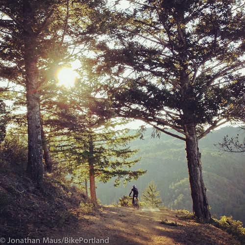
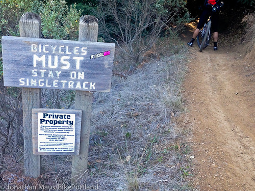
Marin is a fascinating place for a bike lover like myself. It’s the birthplace of two of America’s most important contributions to cycling’s rich history: the Safe Routes to School movement and mountain biking. Safe Routes was first piloted in Marin County in 2000 and mountain biking as we know it today was born on the dirt roads around Mt. Tamalpais in the late 1970s. Both of those innovations are still major components of the physical infrastructure and cultural heritage of Marin.
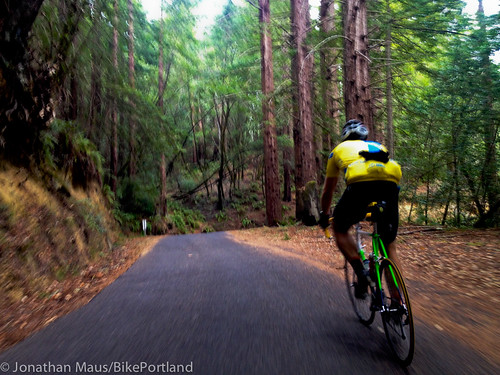
With a mountain bike (a Yeti Big Top 29er from Cyclepath) and a road bike (a Cielo from Chris King) at my disposal, I rode nearly every day I was there — waking up before dawn to minimize the loss of family time. From my base camp in Forest Knolls (map) my possible adventures were limited only by time and fitness: head north toward Petaluma, head west toward the coast, or head south into the dirt roads and trails of the Mt. Tamalpais Watershed.
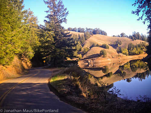
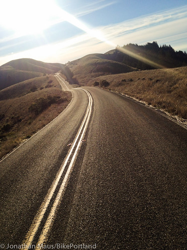
on Alpine Lake in the Mt. Tam Watershed.
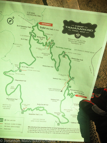
In total, I rode five times in eight days (two off-road, three on-road). According to my GPS device and my new favorite website, RidewithGPS, I tallied about 204 miles and a whopping 22,000 feet of elevation gain. In the process, I befriended places like Nicasio Reservoir, Tomales Bay, Bolinas Bay, the legendary Fairfax-Bolinas Road, Camp Tamarancho, San Geronimo Ridge fire road, Ridgecrest Boulevard, and more.
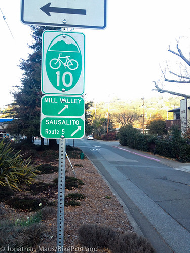
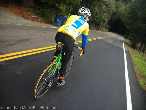
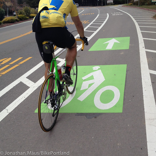
Accessing these splendid cycling areas is relatively easy in Marin. They’ve got several official, numbered cross-town bicycle routes that are very carefully and consistently signed. Think of them like our neighborhood greenways, but through major streets and corridors. The other thing that makes riding easy in Marin is the sheer number of other riders. You don’t see many utility-oriented, daily commuter-type riders (which is very disappointing), but the number of serious, lycra-clad riders is very impressive.
Check out a few more photos below to get a sense of what the riding is like in Marin County…


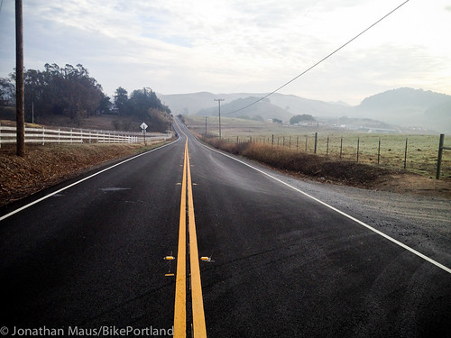
I highly recommend exploring Marin by bike. Strong rural and farming land conservation efforts have resulted in hundreds of miles of low-car roads that connect to small communities and commercial districts thriving with locally owned stores and markets. And if you love riding bikes, you’ll fit right in.
More info:
– Marin County Bicycle Coalition
– Walk Bike Marin
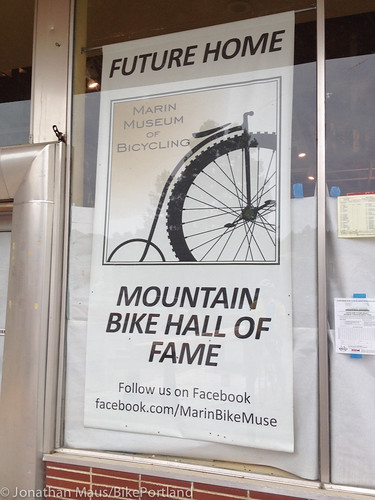
– Marin Museum of Bicycling (coming soon!)