

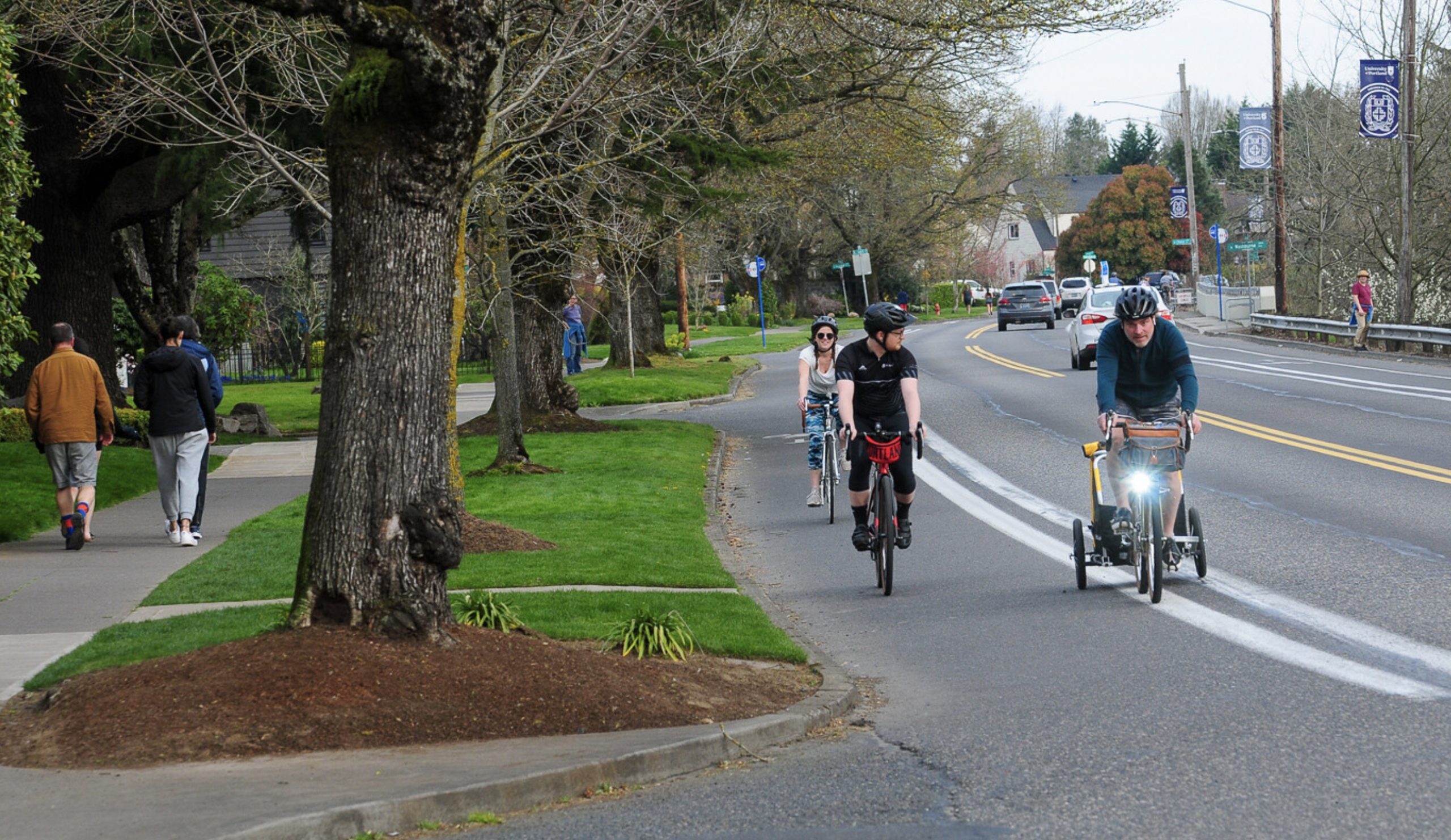
(Photo: Jonathan Maus)
The Portland Bureau of Transportation has launched a comprehensive planning process for the northern tip of the city.

(Graphics: PBOT)
With North Portland in Motion, PBOT promises to:
Engage deeply with North Portlanders to understand transportation needs and barriers to meeting daily mobility needs. Identify a near-term prioritized investment strategy of projects and programs to improve conditions for walking, biking, and transit. Build new relationships with community-based organizations to represent the diverse neighborhoods and communities within North Portland.
“In Motion” plans have become a go-to strategy for PBOT for at least a decade now. It started in 2011 with East Portland in Motion and we’ve since seen Central City in Motion (2016), Northwest in Motion (2018) and Southwest In Motion (2019).
Advertisement

The basic idea is to take a deep dive into one section of the city. Staff does outreach and garners feedback through open houses and events, then works with a volunteer committee to understand the issues. The final product is a prioritized list of projects that can move to the next stage of development and implementation. Funding isn’t part of these plans, but it flows more easily once this type of work is complete.
The formula has worked well. By working closely with community residents and organizations to agree on priorities, “in motion” plans give Portlanders an effective advocacy tool and also create the bureaucratic inertia and political will needed to get things built.
PBOT says it’s north Portland’s turn because the area is “long overdue for a community-driven transportation plan.” “We’ve heard for many years from people who live and work in North Portland that there is a lack of attention and investment in the transportation system in the North Portland peninsula.”
The study area is defined roughly by Overlook Park in the south, I-5 to the east, Columbia Blvd and Pier Park to the north, and the Willamette River to the west.

Currently, this part of Portland is a very mixed bag. East of “the cut” — a railroad corridor that separates the Portsmouth and St. Johns neighborhoods — there’s a relatively strong grid of neighborhood greenways and other bike-friendly streets like Willamette, Greeley, and Rosa Parks Way. West of the cut the network is less developed.
Lombard, an ODOT-owned state highway and major freight route, bisects the planning area and will likely loom large throughout the process. Other focus areas might include an extension of the extremely popular bike lanes on Willamette Blvd (something that’s been promised for years), access to the St. Johns main street commercial corridor, where to route new neighborhood greenways, improvements to the Peninsula Crossing Trail, and more. (Sorry, the St. Johns Bridge is not in the project scope.)
North Portlanders are eager to get this process started. They’ve been organizing on an informal basis around safer streets for years after a tragic spate of collisions galvanized neighborhoods in 2016. In late 2017, Oregon House Speaker Tina Kotek spoke at a town hall on traffic safety in St. Johns after several fatal and serious injury collisions on Columbia and Fessenden near George Middle School.
PBOT says the process will take about two years and a plan will be adopted by council in Spring 2023.
Stay tuned for updates and opportunities to weigh in and check out the project page to sign up for project emails.
— Jonathan Maus: (503) 706-8804, @jonathan_maus on Twitter and jonathan@bikeportland.org
— Get our headlines delivered to your inbox.
— Support this independent community media outlet with a one-time contribution or monthly subscription.