

(Photos: J. Maus/BikePortland)
One of the ways I fit cycling adventures into my life is to ride to places where I’m already planning to do something with my family. So, when we planned to meet some friends in Hood River on Sunday, I knew it was a golden opportunity.
Like always, I opened up Ride With GPS and started planning. I ended up doing an absolutely sublime 100-mile route from Portland to Hood River that you definitely want to put on your to-do list (if you haven’t already).

When I plan a route my main goal is to come in contact with as few cars as possible. And by that measure, the route I did Sunday is one of the best I’ve ever done. Most of it was either on carfree paths or mountain backroads with very few motor vehicles. I can’t believe it’s taken me 13 years of living in Portland to do this ride!
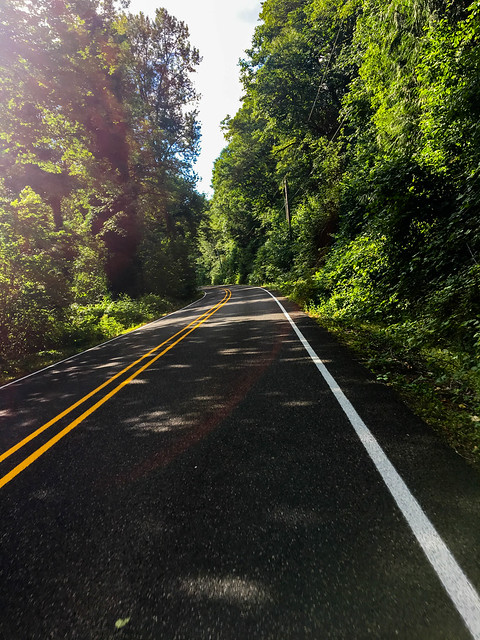
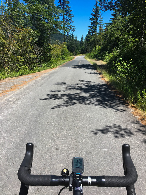
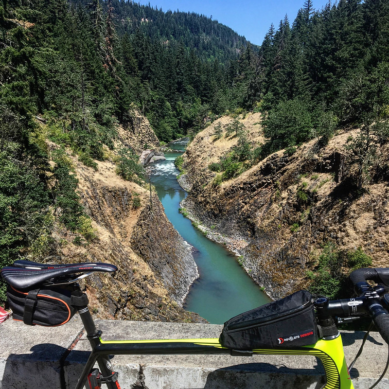
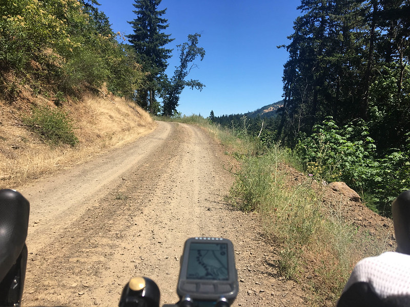
The first 25 miles or so were on the Esplanade and the Springwater. By the time I turned off the Springwater (north of Boring), I was already among rural farmlands with hardly any traffic (especially on a Sunday morning). I headed east toward the Sandy River via Dodge Park Boulevard and Lusted Road. After a water refill at beautiful Dodge Park, a campground at the confluence of the Sandy and Bull Run rivers run by the Portland Water Bureau, I continued east on smooth and winding backroads. SE Shipley Road between Ten Eyck and Marmot roads was a highlight of this section.
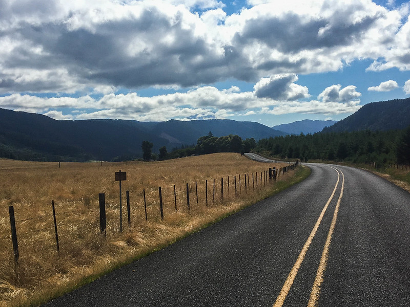
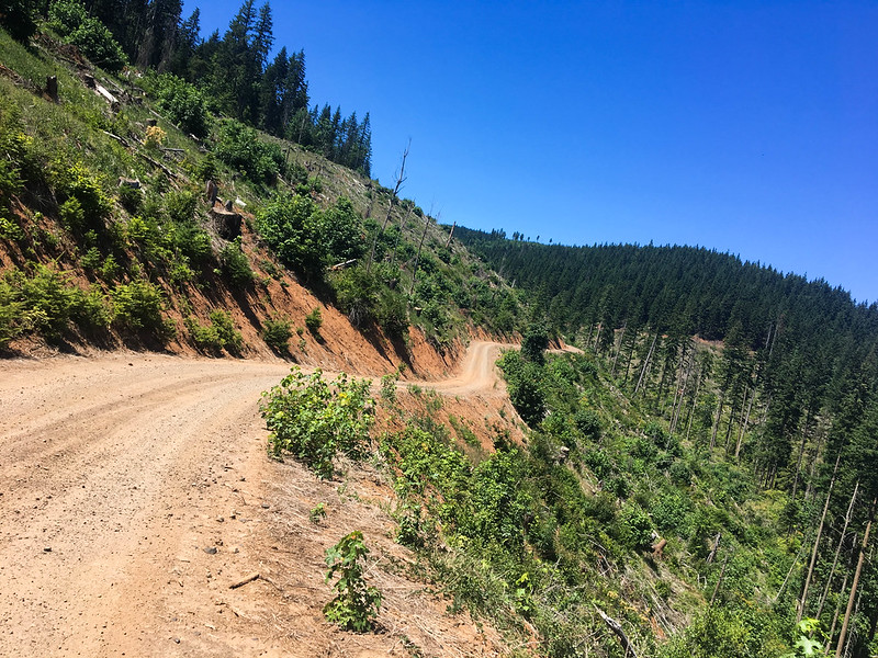
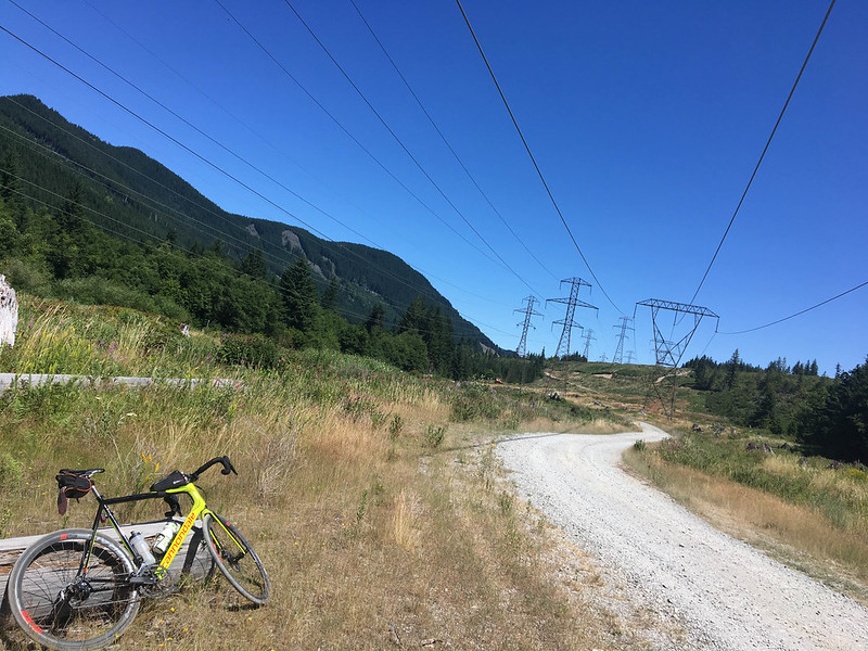
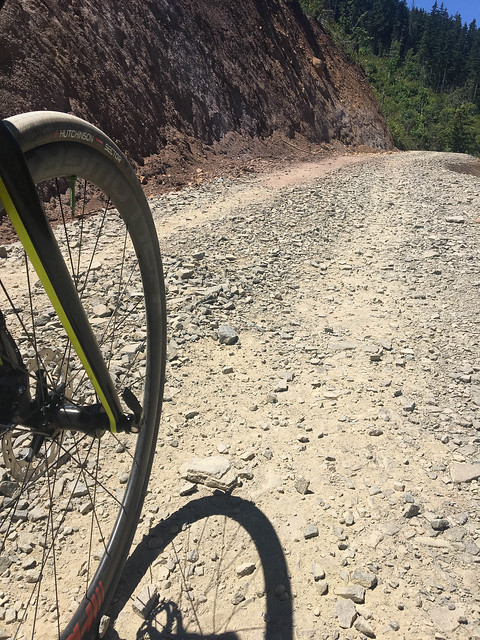
Once on Marmot Road (which is quiet and beautiful) the route paralleled Highway 26 (while being far enough away to not hear or see it) for 14 miles. At tiny mountain community of Zig Zag, I made a left and headed north on Lolo Pass Road. This was the big climb of the day: the road took me 2,000 feet up in about 10 miles. At the top, the road turned to dirt. I crawled my way down about 3.5 miles of loose rocks and gravel (thank goodness I had size 32 tires set up tubeless).
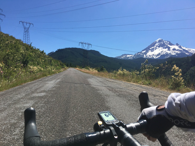
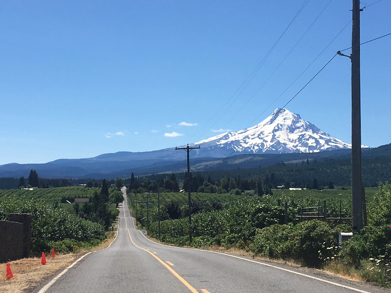
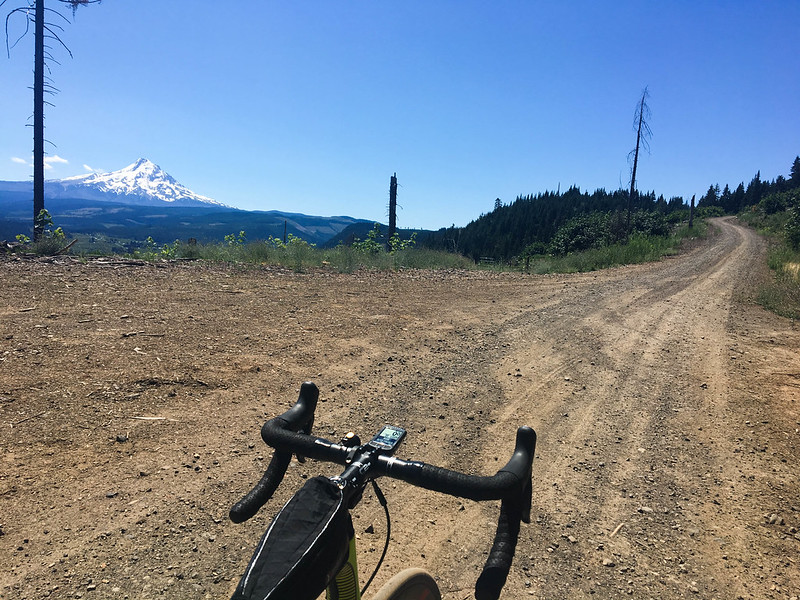
After the dirt section, Lolo Pass turns into Lost Lake Road and I eventually wound my way to the orchards of the upper Hood River valley. Instead of going into town via the popular route of Dee Highway I opted for an alternate: Kingsley Road. I had no idea what to expect, but I’m glad I gave it a try. The four-mile, 1,100 foot climb turned out to be rocky dirt and felt rather steep with 90 miles already in my legs — but it sure beat riding on the shoulder of Dee Highway (218)! And the paved descent on Kingsley back to the highway was smooth, fast, and perfect.
I can’t recommend this route enough. And keep in mind you don’t have to do the 100-miler all the way to Hood River. This route is a great way to get from Portland to Dodge Park for an overnight bikecamping trip. Or do the Kingsley-Punchbowl Road loop from Hood River. Check out the route on Ride With GPS.
— Jonathan Maus: (503) 706-8804, @jonathan_maus on Twitter and jonathan@bikeportland.org
BikePortland is supported by the community (that means you!). Please become a subscriber or make a donation today.