
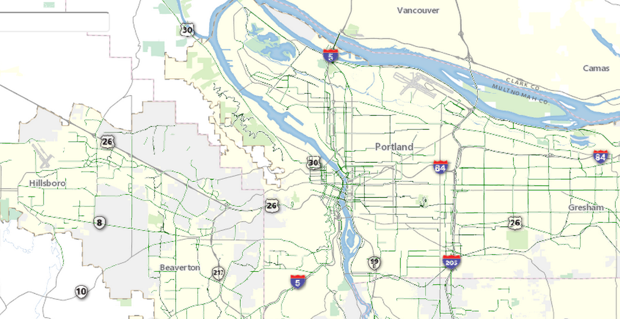
Three secrets hidden in Metro’s great new map of every local traffic collision
Even ones that only damaged property.
Even ones that only damaged property.
The number of mapped bike routes in the Oregon side of the Portland metro area has shot up 71 percent since 2010.
This might be the best such map yet.
Even if you carry a smartphone, there are still a few times when paper does some jobs best.

In Portland’s South Tabor neighborhood, the fastest way to reach 25 percent of the city’s land area is on a bicycle.
Want to help Metro make the 9th edition of the Bike There! map even better? Take this online survey.
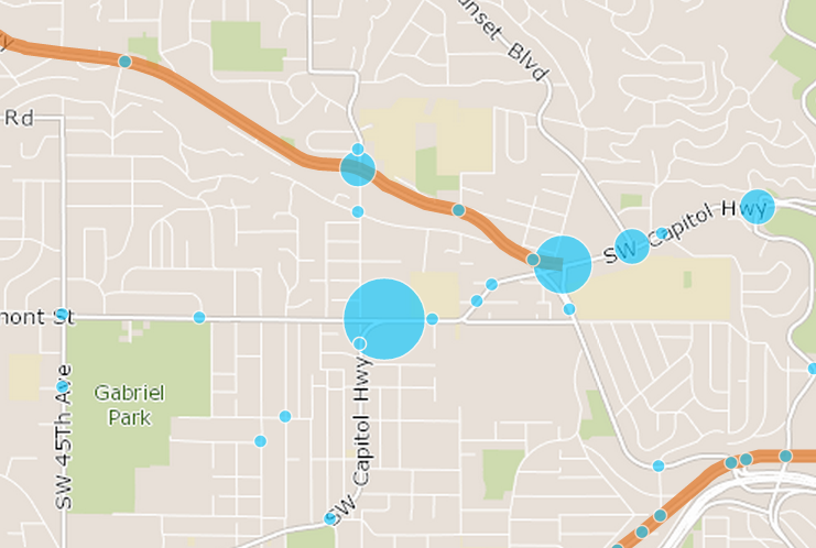
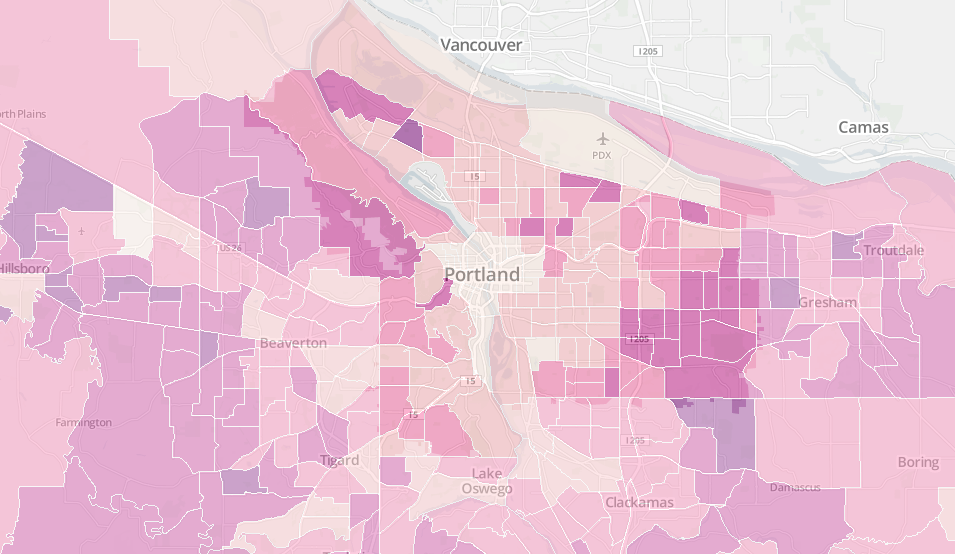
What can Strava’s heat map tell us about riding in the Portland region?
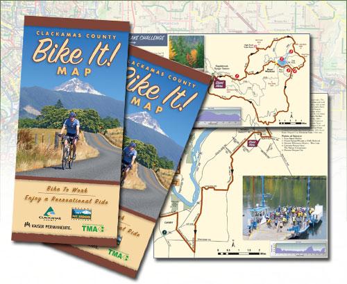
Great timing for the onset of spring! Washington County has a gorgeous new bike map — and it’s free!
Without a truly massive surge of political will, this is likely to be, for decades, the only area of Portland where it’s actually appealing for most people to get around without a car.
Isn’t it great when a local government agency uses the Internet to make political participation much easier?
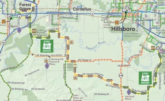
Looks even better in Times Square. Travel Oregon (a combined effort of the Oregon Parks and Recreation Department and the Oregon Tourism Commission) is continuing their aggressive promotion of Oregon as a premier bicycling destination. Last week they announced the publication of a new map of their Scenic Bikeways system and today they celebrated when … Read more
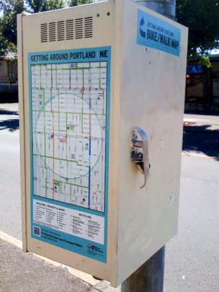
New map posted on a signal box at NE 42nd and Alberta.(Photo: PBOT) The Portland Bureau of Transportation does an amazing job making biking and walking maps available. One of my first impressions upon moving here in 2004 was when I ordered some bike maps from them and a few days later say a smiling … Read more
Comment of the Week: Legs of steel and the e-bike